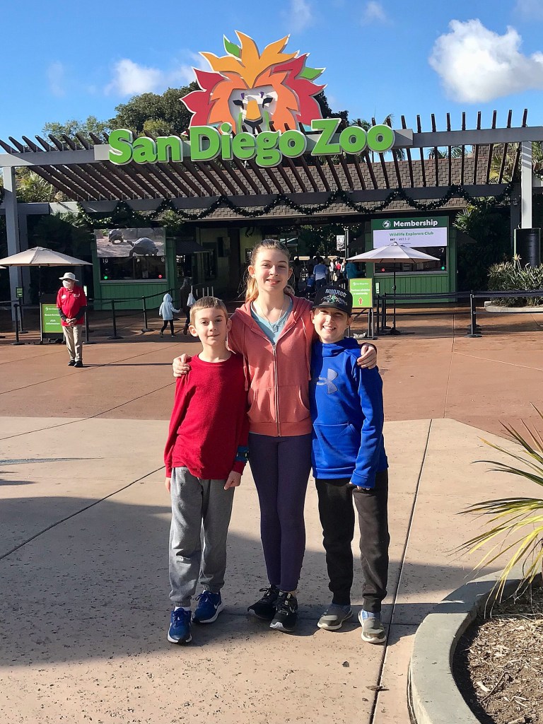
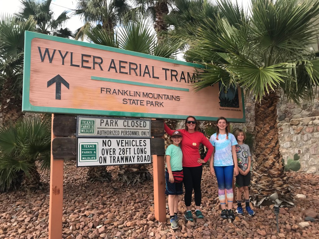
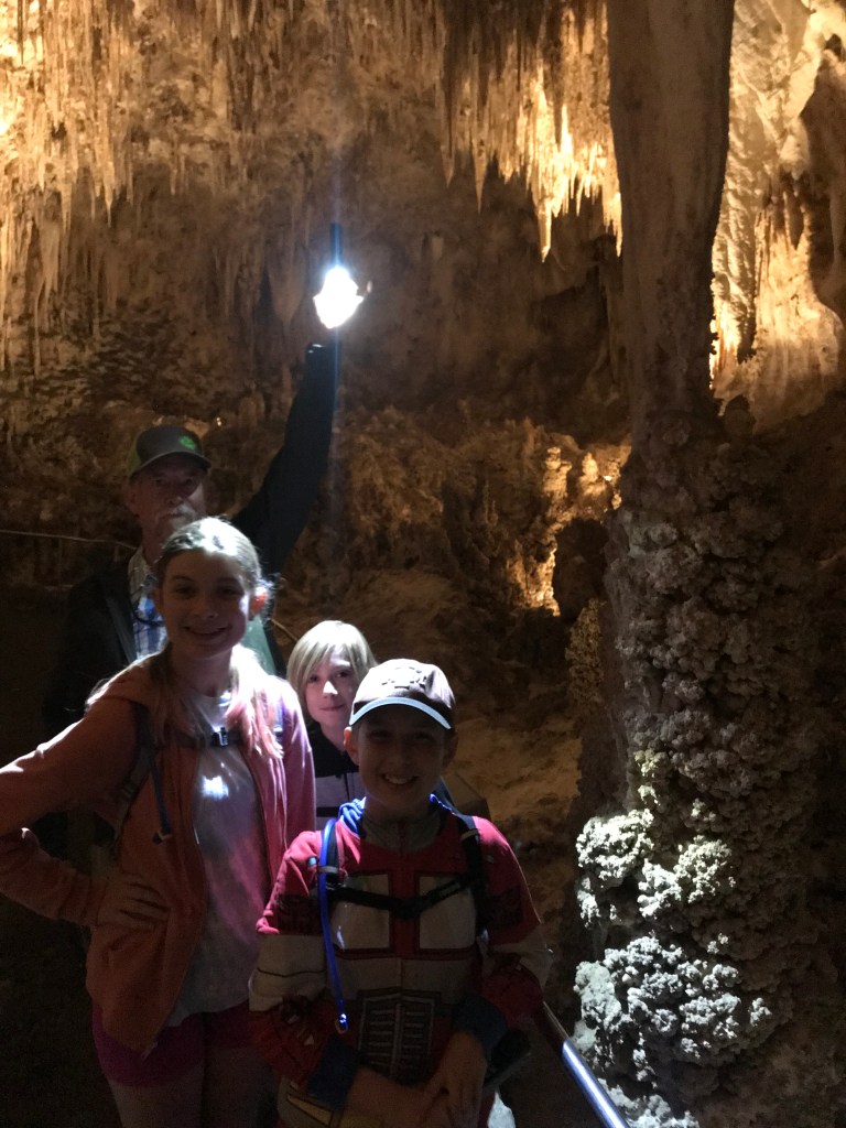
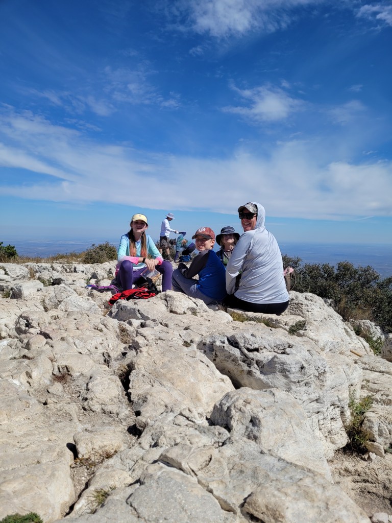
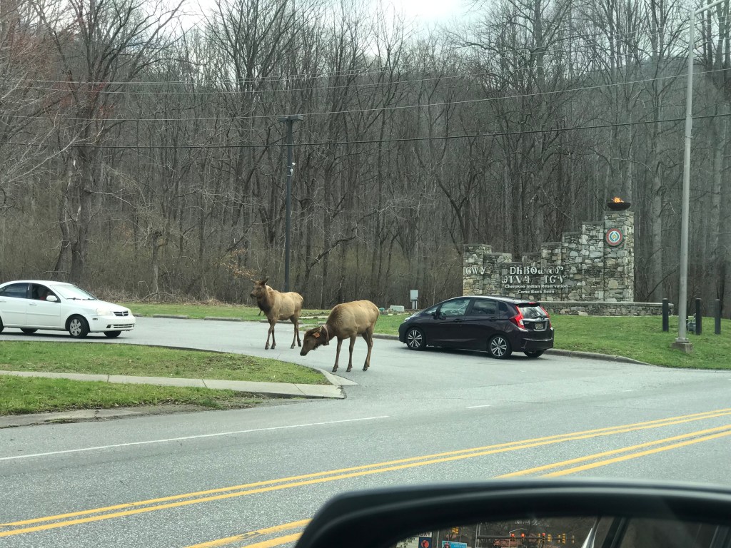
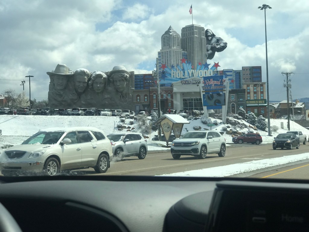
Let me start with wishing Texas State Parks system a happy 100 years! After Governor Pat Neff’s mother donated family land to the state of Texas to be memorialized as a public park, he was inspired in 1923 to begin the search for and acquisition of more Texas land to be transformed. By 1933, President Franklin Roosevelt took notice and enlisted the CCC workers of the “New Deal” to lend a hand. In 1937, Mother Neff State Park officially opened as Texas’ first state park. We visited this park before I started blogging and we thoroughly enjoyed it, so I might add a post for nostalgia this year. 🙂
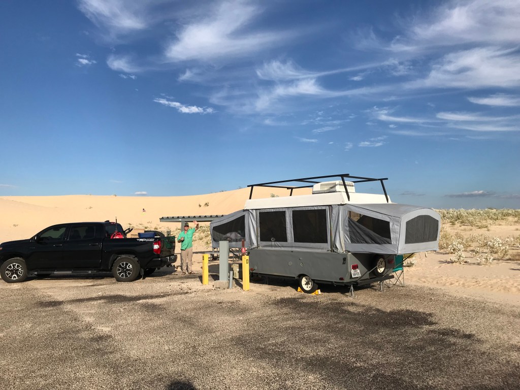
2023 started a little slower than I would have liked for park visits, but at least half way through, it looks like we’re picking up some momentum! The kids and I snagged 3 days to hit Lake Somerville State park before I started on the much needed ceiling renovation for Wanda. We also had an awning upgrade to test out. And with the record breaking heat we’re experiencing this summer… it was needed for camping the last week of June!
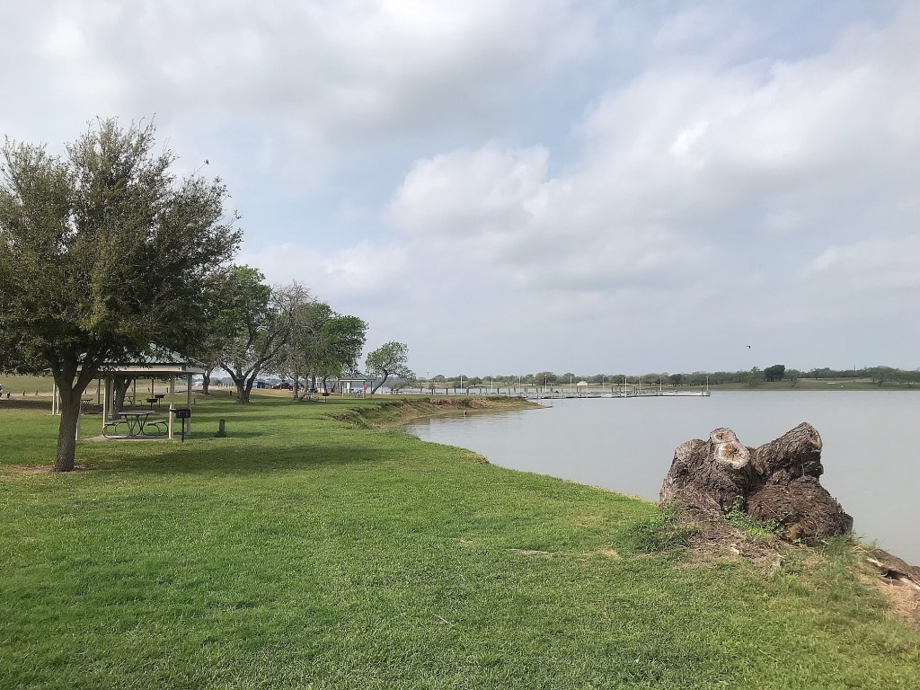
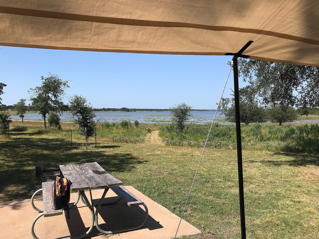
Lake Somerville State Park is split across the lake in 2 separate units with a 13 mile trail connecting them. I chose Nails Creek Unit for being smaller and its reputation of being more quiet according to Facebook group reviews. I was pleasantly surprised at the park’s availability on campsites (thank you, heatwave) and reserved what looked like a mostly shaded lakefront spot.
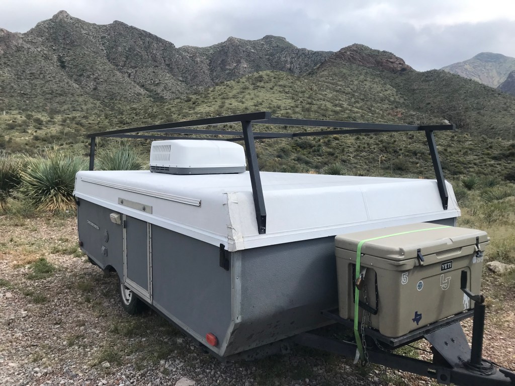
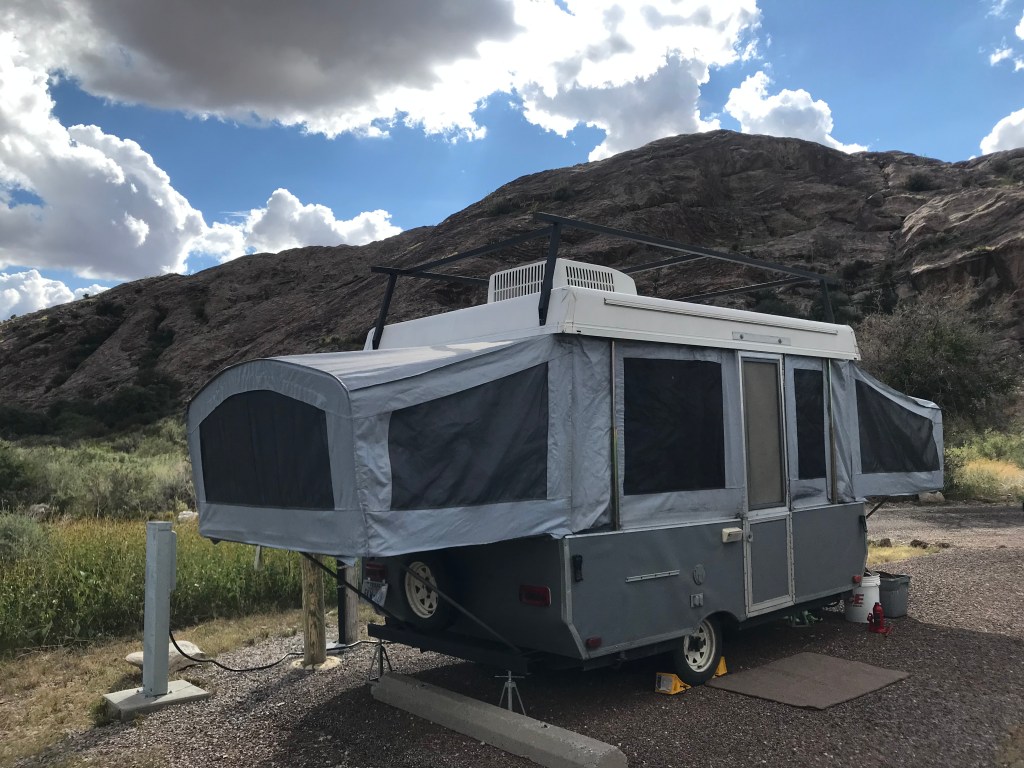
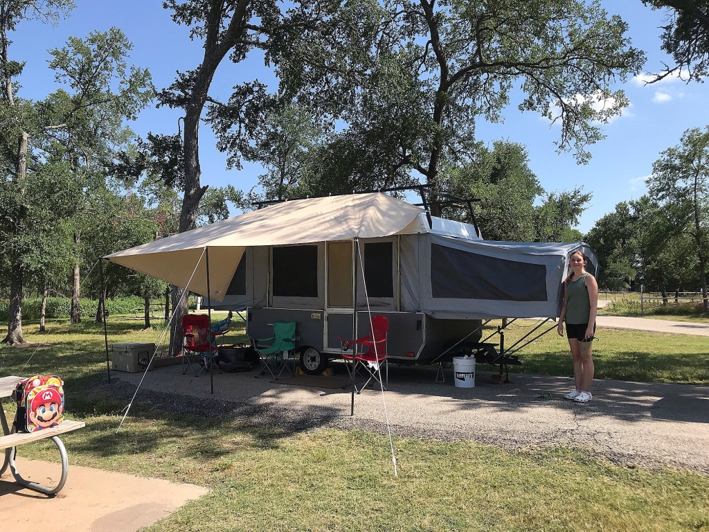
We spent most of day 1 just getting there and setting up. Sometimes a 3.5 hour drive just turns into 5 haha. The awning went up without a problem and we were immediately so grateful for it! It came together from leftover parts of the carport kit I used to build our chicken run and attached it to the awesome kayak rack my dad installed a couple years ago giving it a nice height. I just love when repurposed items serve their purpose well! Big props to my Eagle Scout Hubby for creating our easy to use and adjust guy-wires too!

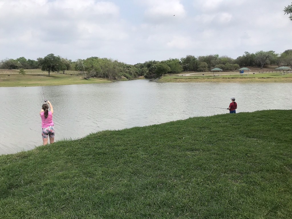
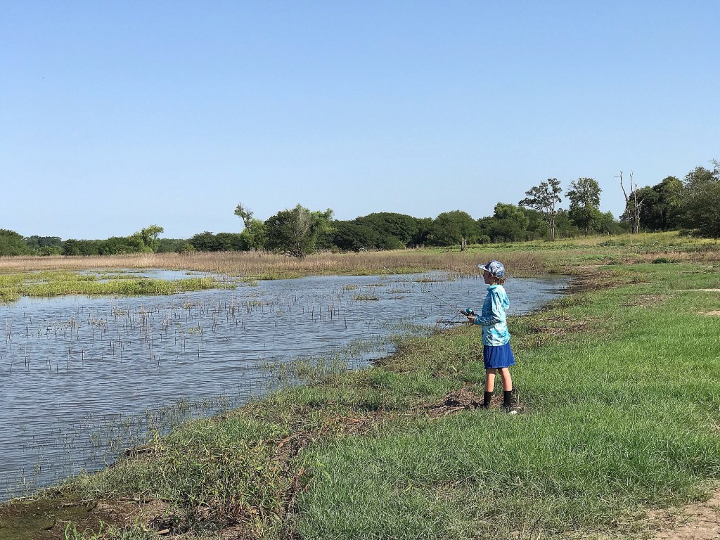
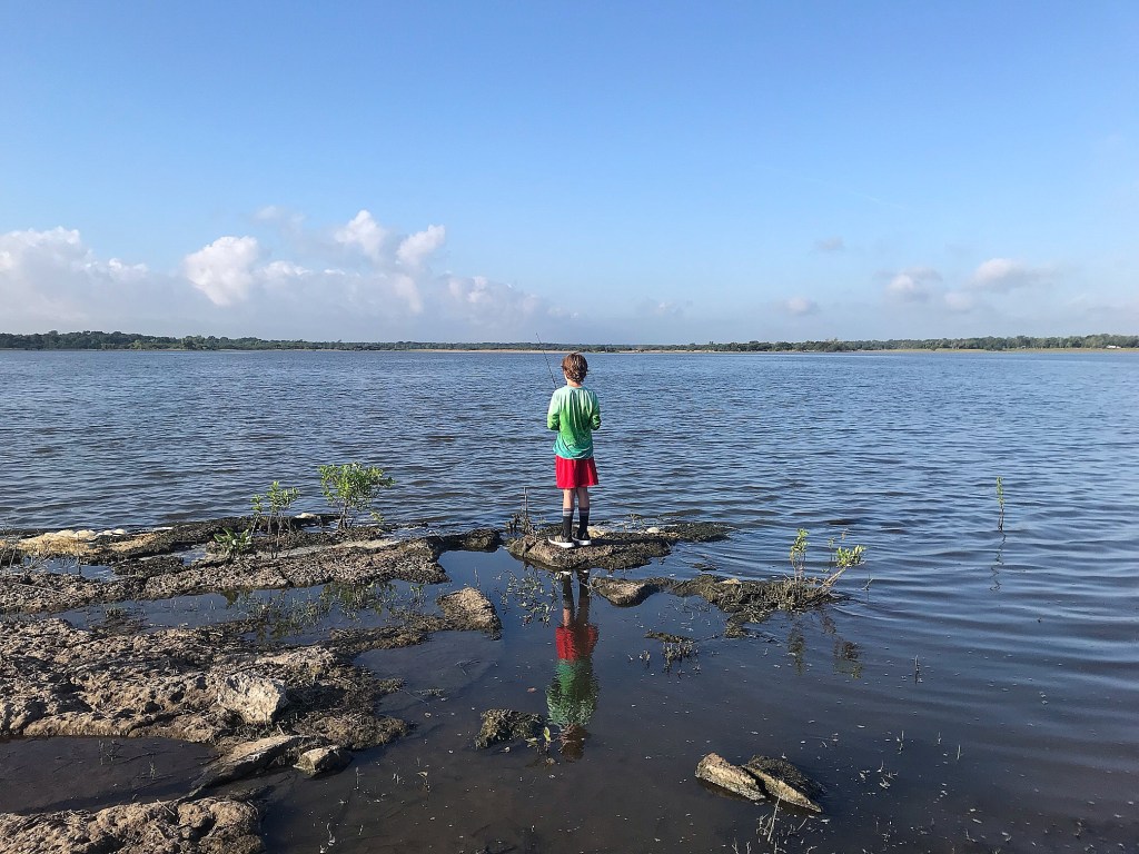
The boys took off for the lake while I got dinner stuff ready and sight casted at carp (aka “giant goldfish) for about an hour. After we ate, we drove to the fishing pond and the boys chunked some more lures. We also saw snake #1 there. We finally found it comfortable to sit at the picnic table by 8:30 that evening and played Uno until dark while watching deer get a drink from the lake.
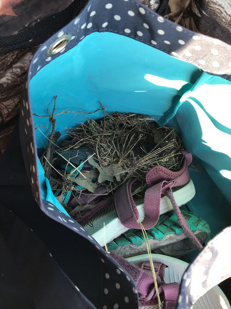
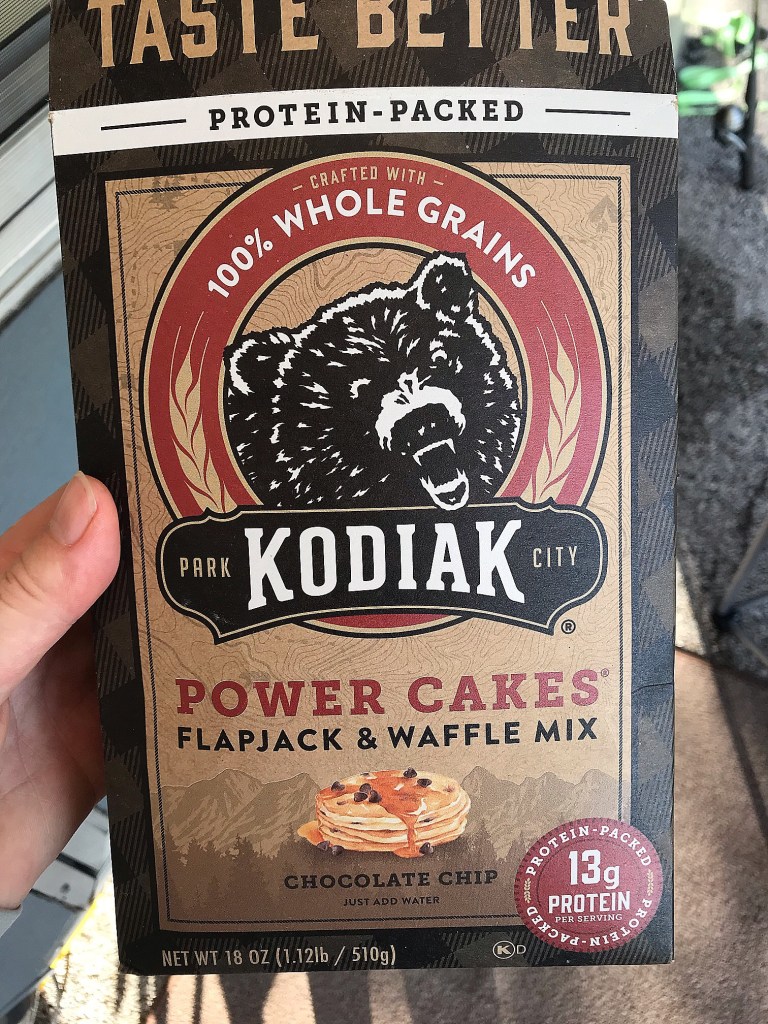
The kids slept until 8:30 the next morning while I tried to convince some presumptuous sparrows they didn’t want to build nests in our stuff. We would spend the rest of the time there continuously blocking them from tubs, bags, buckets, and chairs! They were fast little builders and would get a nest started in what seemed like only minutes! We just kept moving the clumps to tree branches and then would block off the access they had found. We also tried out a new breakfast hack that morning and loved it! We figured out one whole box of Kodiak pancake mix combined with one 16oz bottle of water makes just the right amount of pancakes at the perfect thickness to satisfy everyone’s hunger for the morning. I appreciate the protein and better ingredients in this mix versus the regular “shake n pour” variety we had used a couple times before.
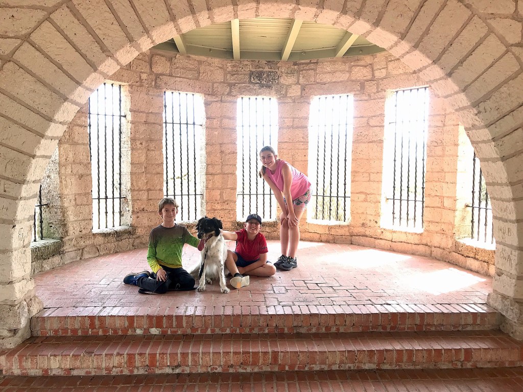
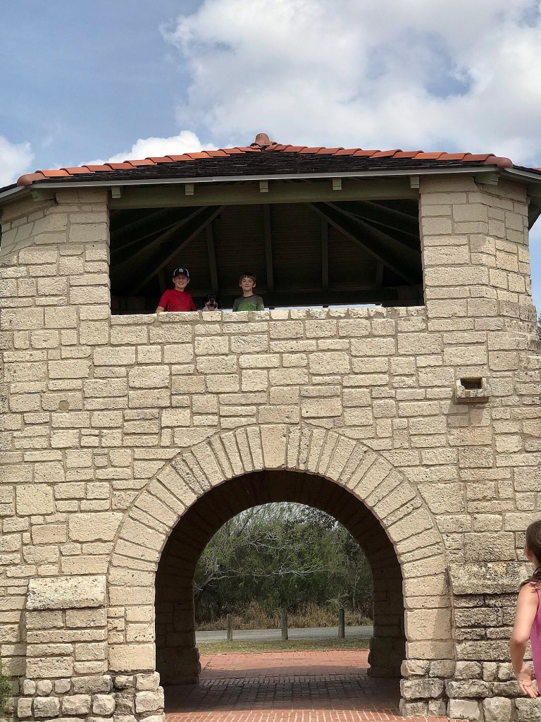
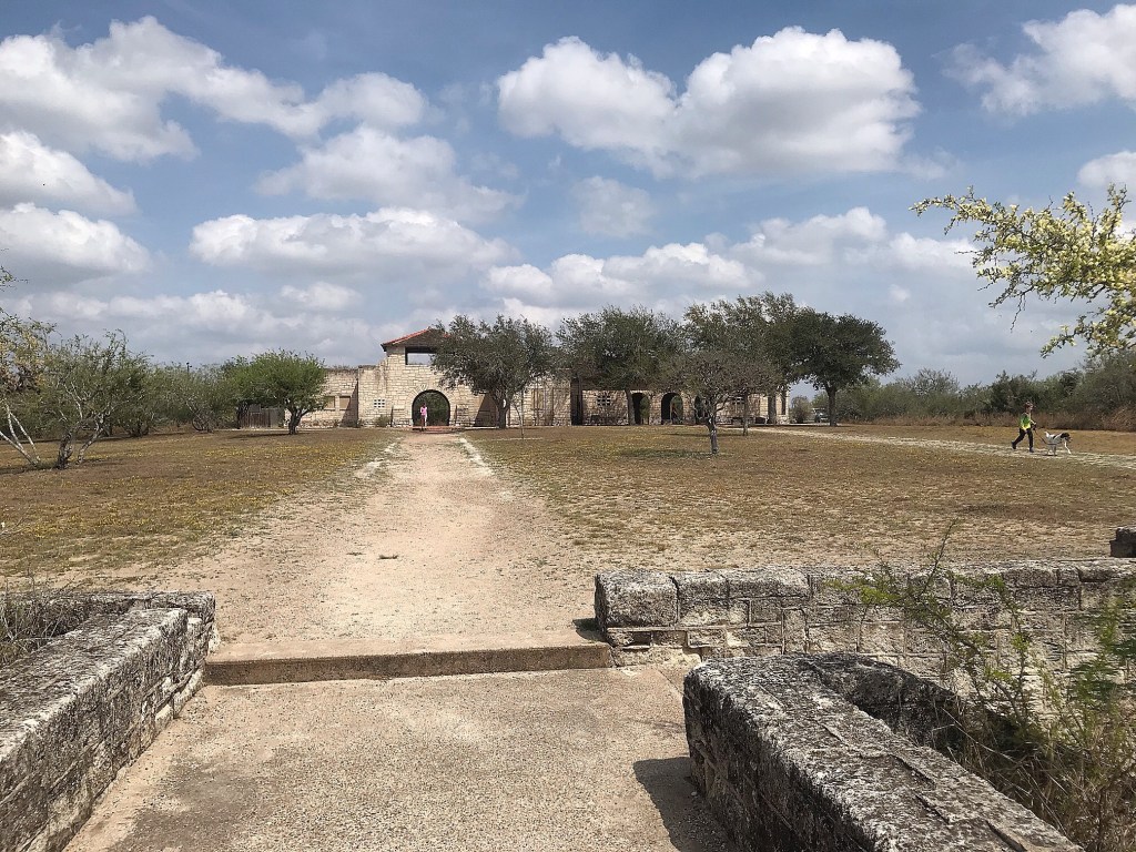
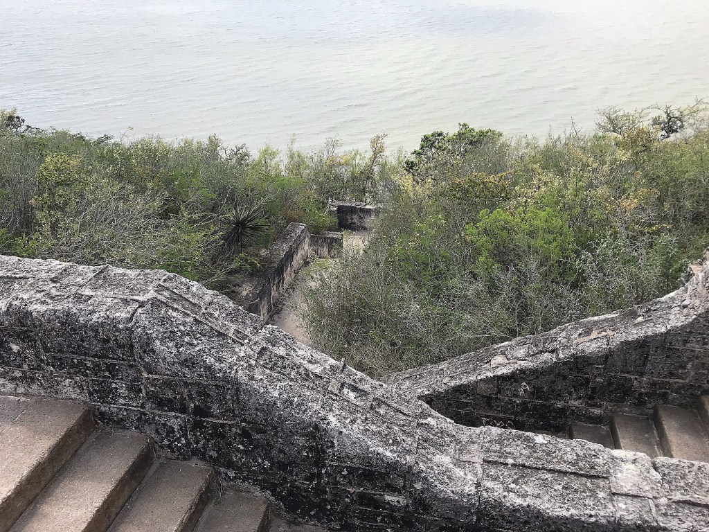
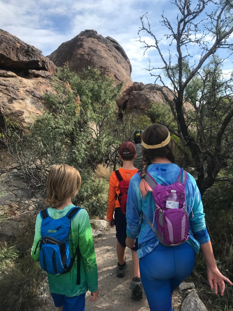
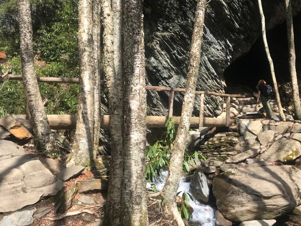
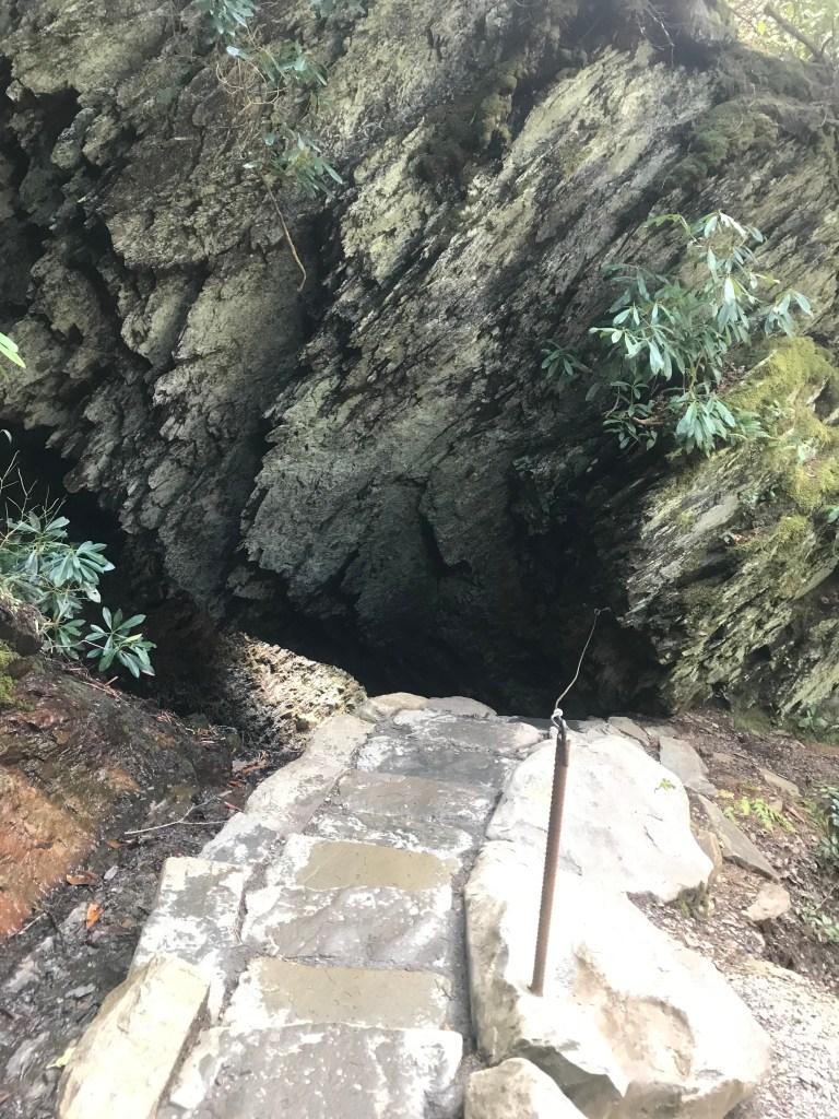
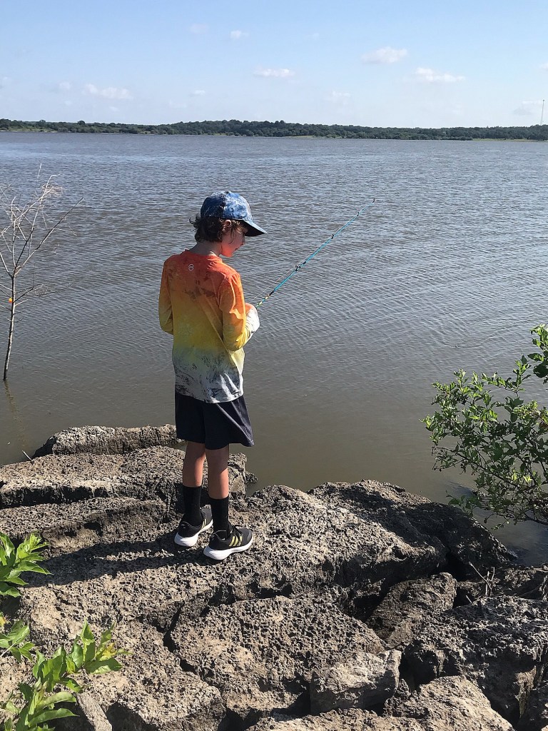
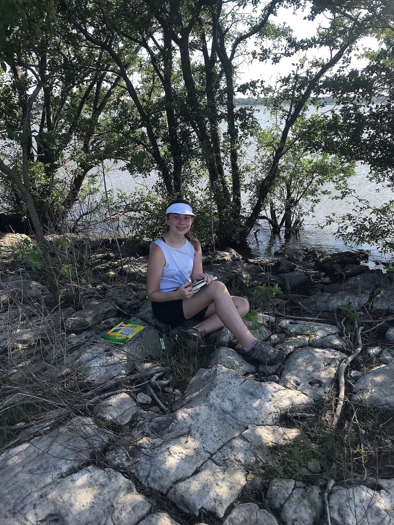
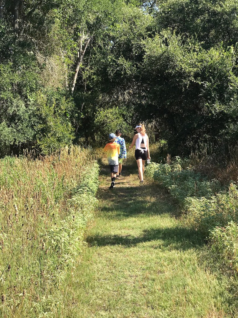
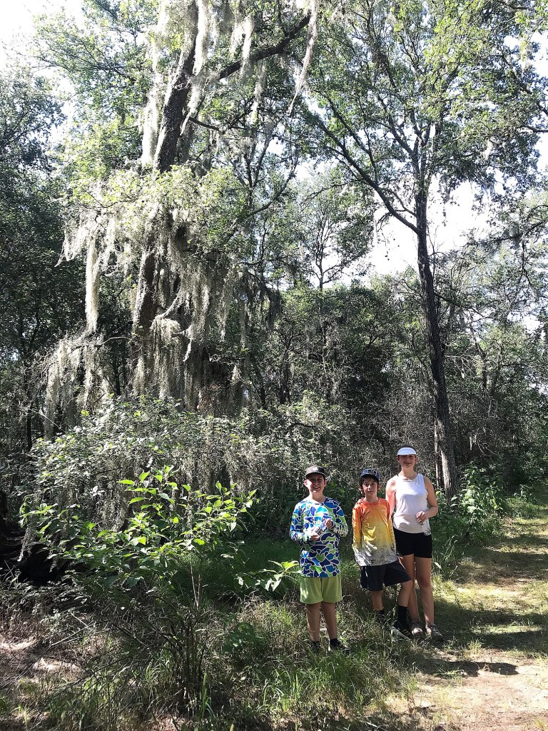
We tried out another fishing spot, where the boys found snake #2 that appeared to have been pulled up in someone’s cast net causing them to abandon it. While we usually pick up other people’s trash in an effort to “leave it better than we found it,” I didn’t want any part of whatever snake was in there and the we decided best for the Park Rangers to handle it. The boys moved on to trying some fishing while Ashlyn found a shady spot to sit and sketch. It didn’t take long for the heat of the day to hit us and we moved on to hiking a 1 mile roundtrip trail to check out an observation deck overlooking the lake. It was a little anticlimactic, but we enjoyed the shaded stroll through the trees.


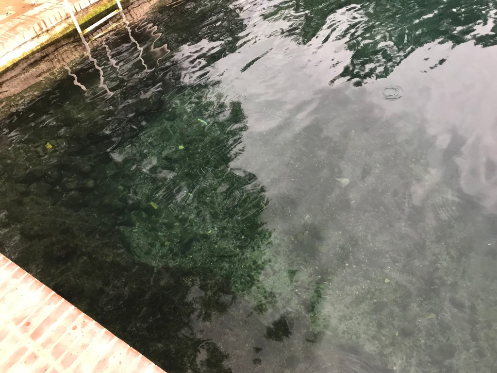
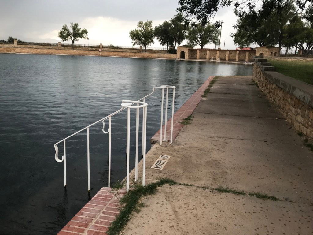
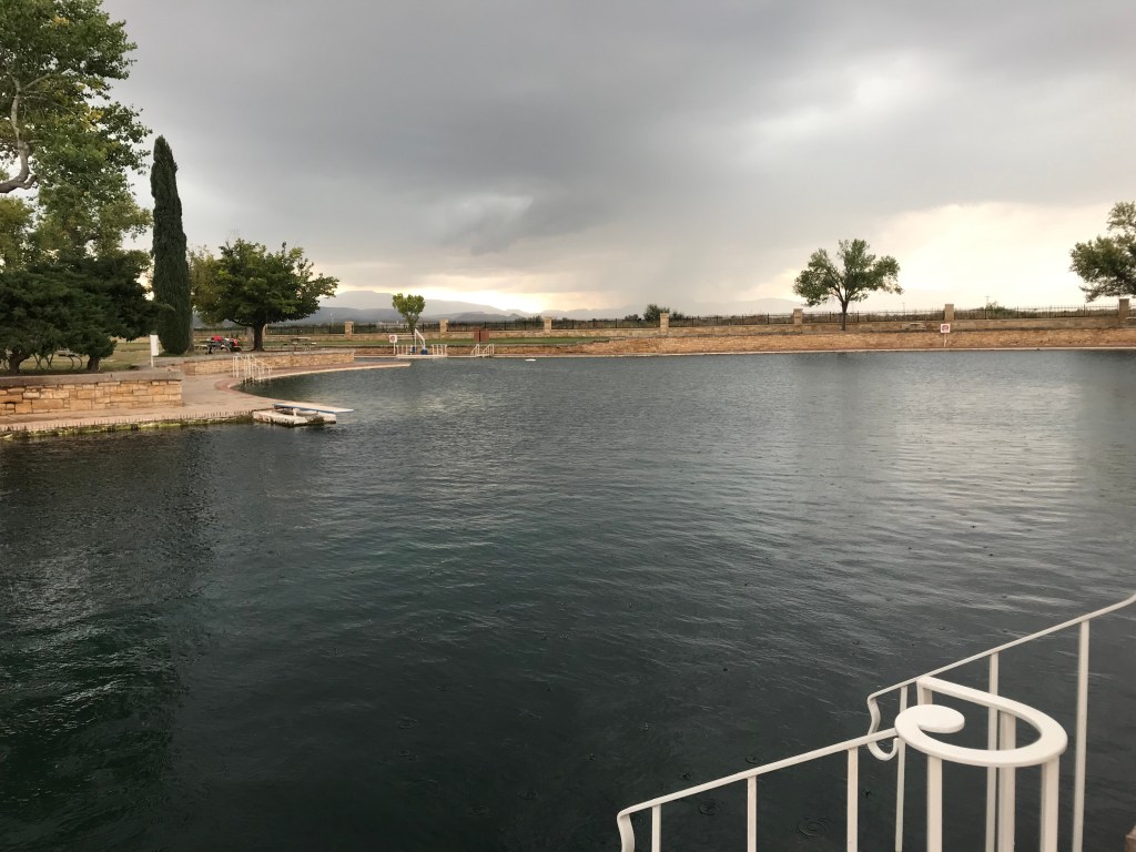
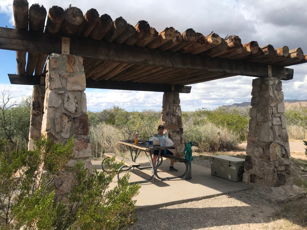
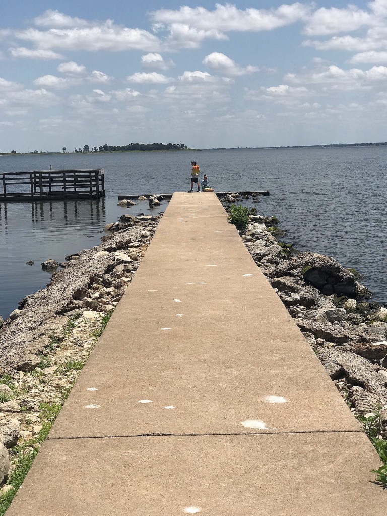
Back at the camper, we packed a lunch and headed out of the park to the other side of the lake to check out the Birch Creek Unit. This area had a much larger boat ramp and day use area. There was a marked area for swimming as well and some people were partaking, but the water didn’t look appealing enough to us. After eating lunch at a shaded picnic table, the boys and I briefly ventured out on the fishing pier that had previously sustained damage but wasn’t repaired yet. That’s where we spotted snake #3!

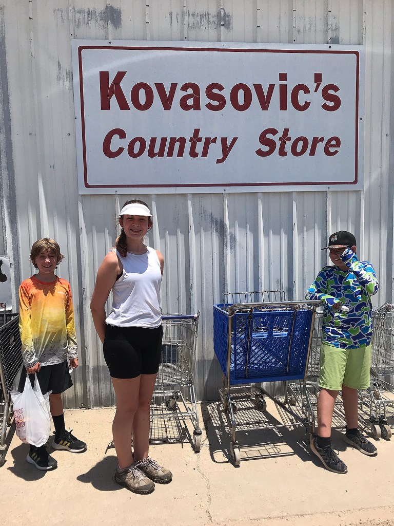
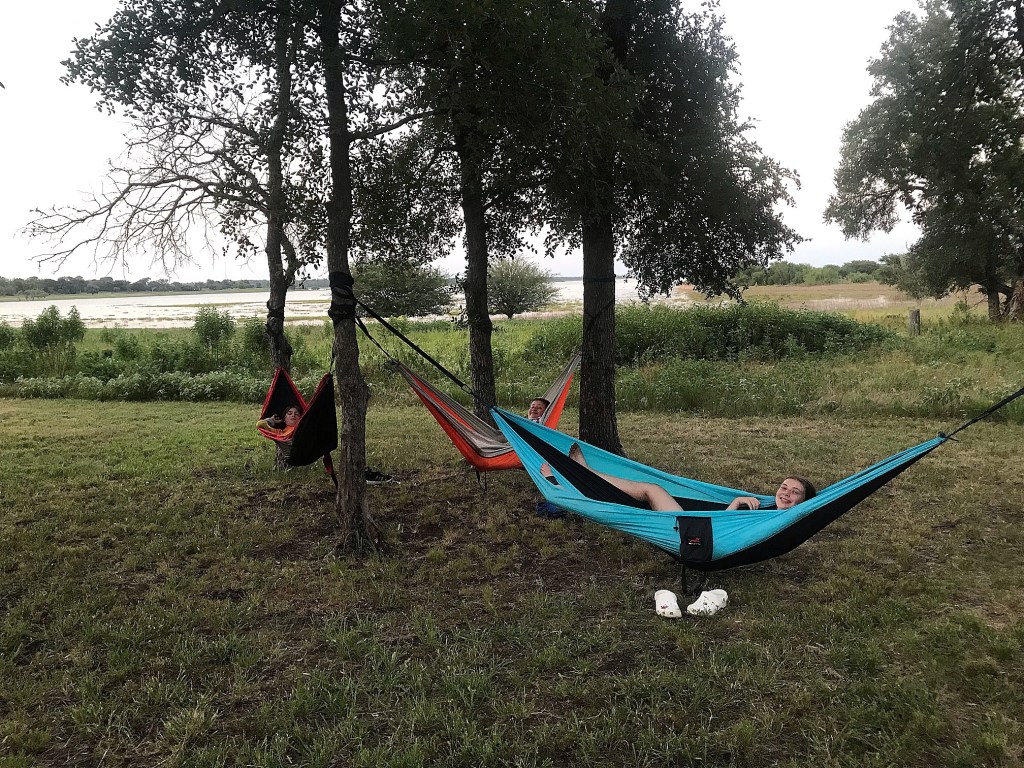
On the way back to our campsite, we stopped at Kovasovic’s Country Store/ Meat Market and scored some pan sausage and summer sausage to take home and some huge bacon wrapped jalapeno’s that I grilled that night for my dinner. The kids each picked out a pint of Blue Bell and demolished them. We hung out in the camper from 2pm-4pm that day playing cards and cat napping then spent the rest of the evening lounging in hammocks.
Because we were late to get on the water the morning before, Archer and I committed to setting an alarm and got up with the sun to give the fishing one more try before we left. We were literally 5 minutes too late to the spot I wanted and a boat was already there pulling fish up out of what I imagined was quite the “honey hole.” Archer wasn’t too thrilled watching them while having no results ourselves, but we tried our best for an hour before going back to camp, eating breakfast and breaking everything down to head home.
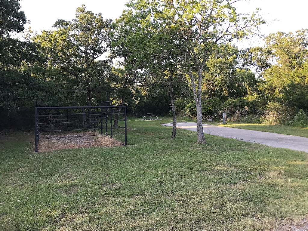
We had a great time outdoors despite the heat wave, but there really isn’t much draw personally for us to return to this park. It is the first park we’ve been to with a large amount of equestrian amenities. Most of the trails are marked for equestrian use, including the 13 mile trail that connects the units and features primitive campsites along the way that are equipped with horse corrals. Large group campsites and individual size campsites with horse corrals are located in both units as well.
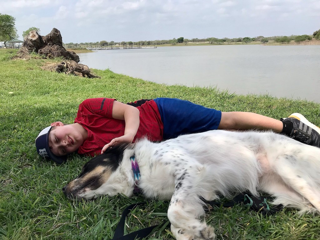
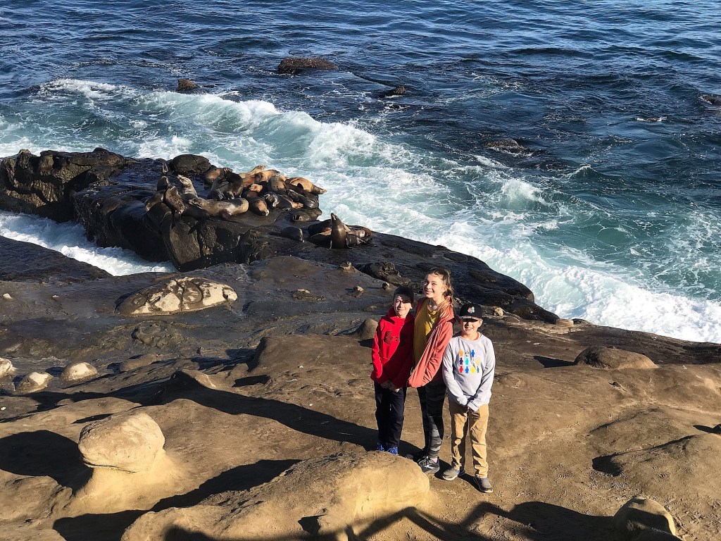
This park also broke our record on number of snake sightings while camping! We definitely kept our eyes on the ground/water and on a swivel the whole time and we were happy they were always at a distance.
-Lindsay