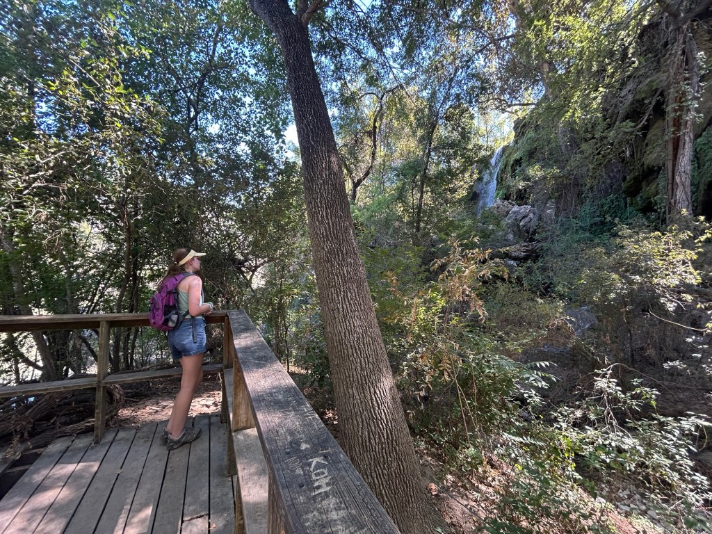
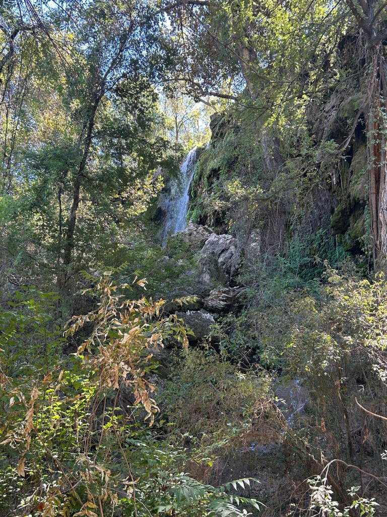
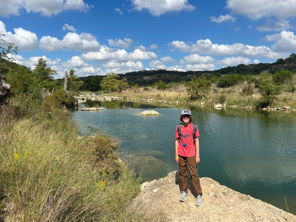
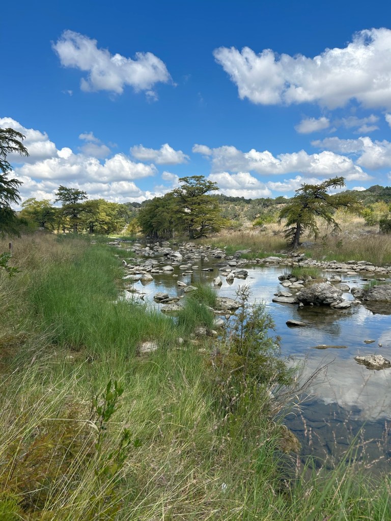
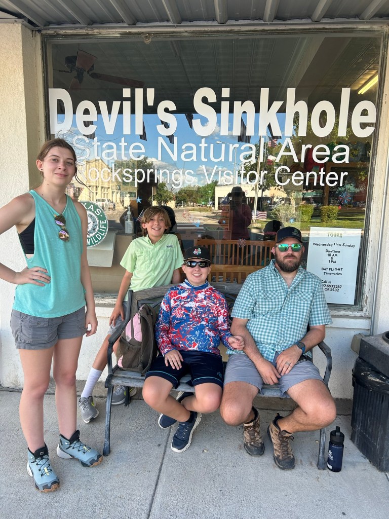
We finished up our 2025 state park visits with one of the more remote and restricted parks on our list. Kickapoo Cavern State Park is located between Rocksprings and Brackettville yet an hour away from either and is only open to the public Friday through Monday. While it offers Hill Country camping, views, hiking and even seasonal bat viewings; our main goal was the cavern tour. Guided cavern tours are only offered once a week at 1pm on Saturday and limited to 10 people. Naturally, I had our spots booked 5 months ahead of time and we were finally locked in.
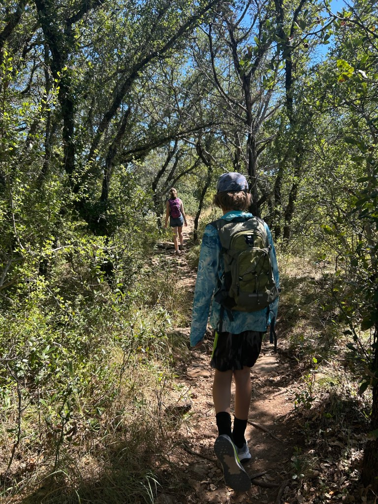
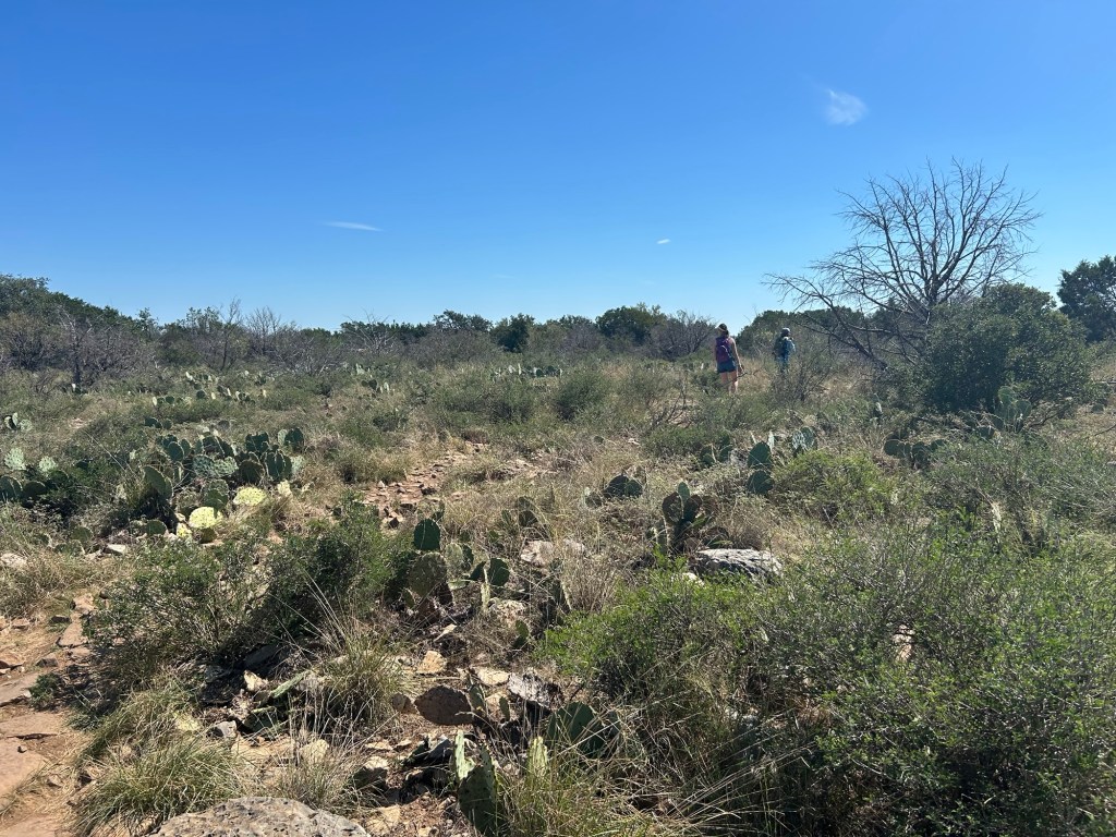
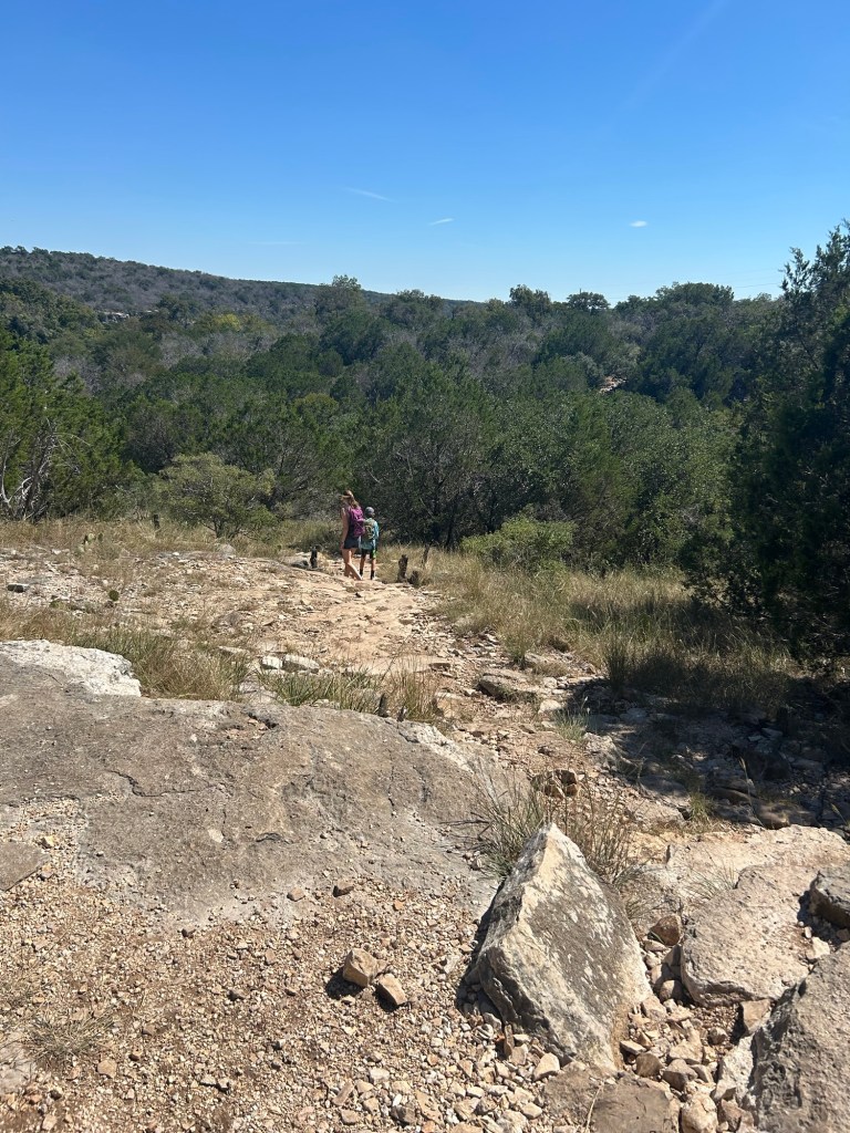
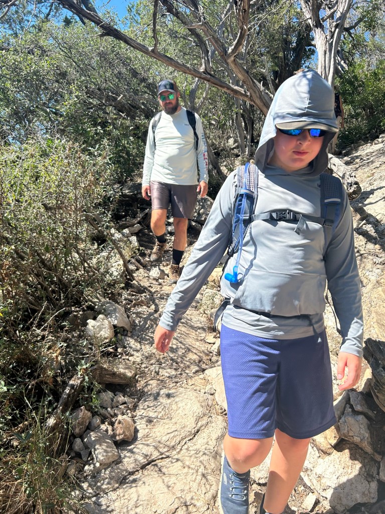
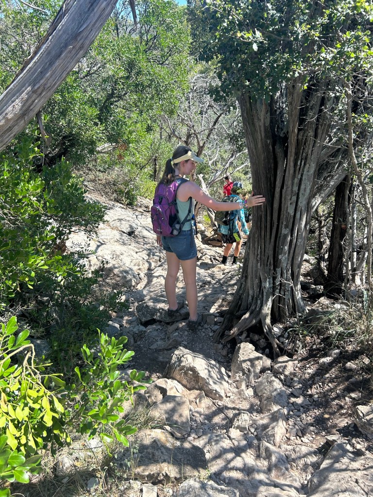
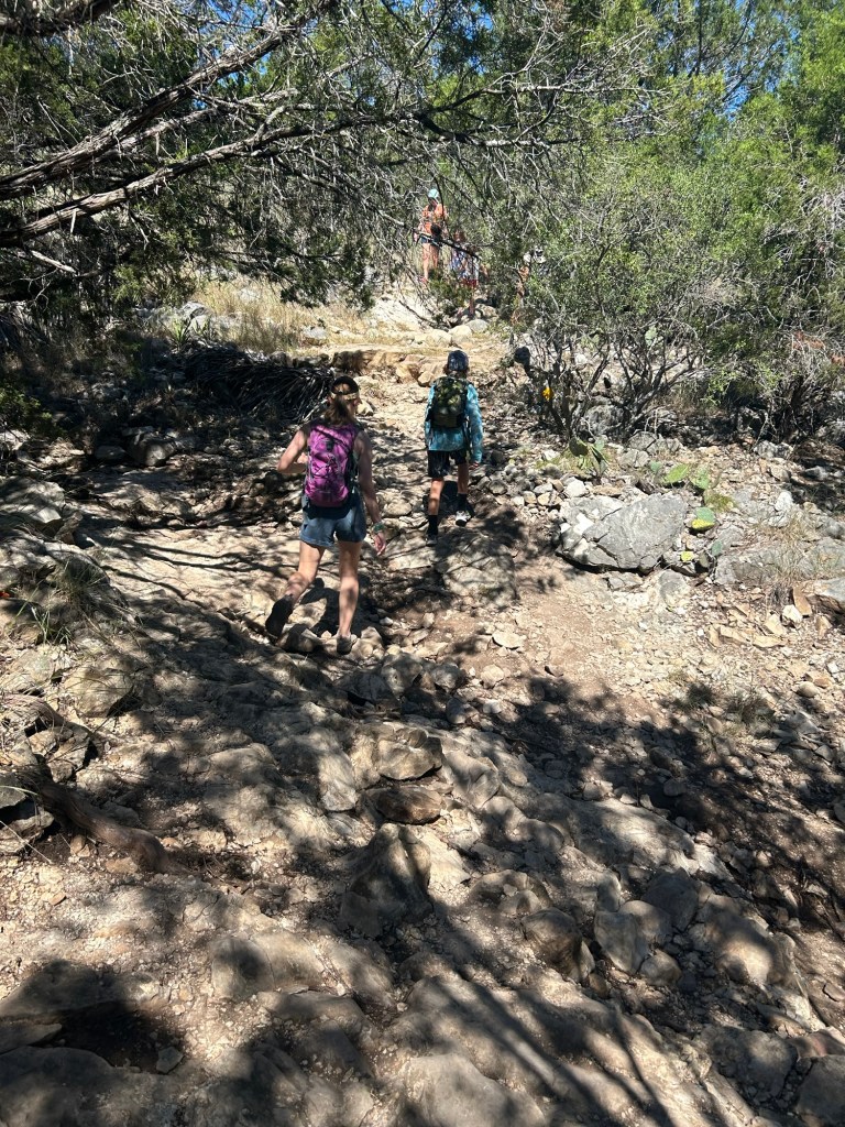
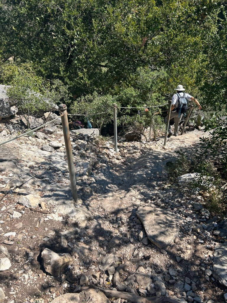
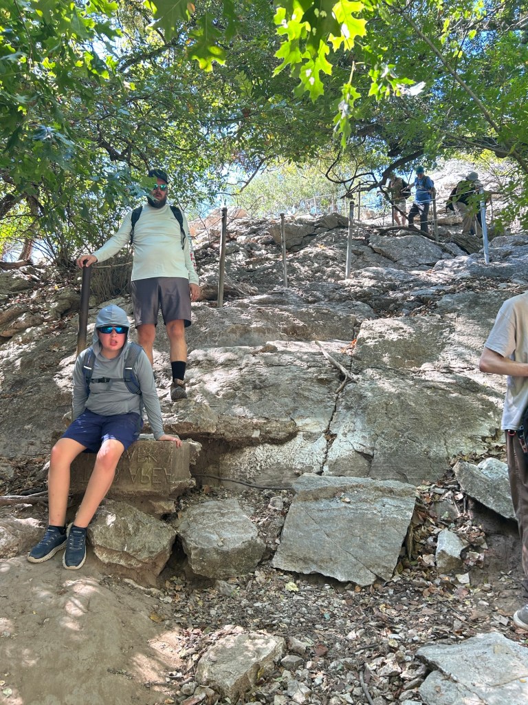
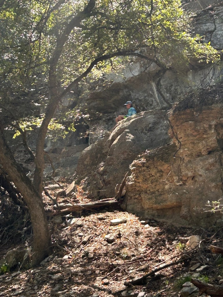
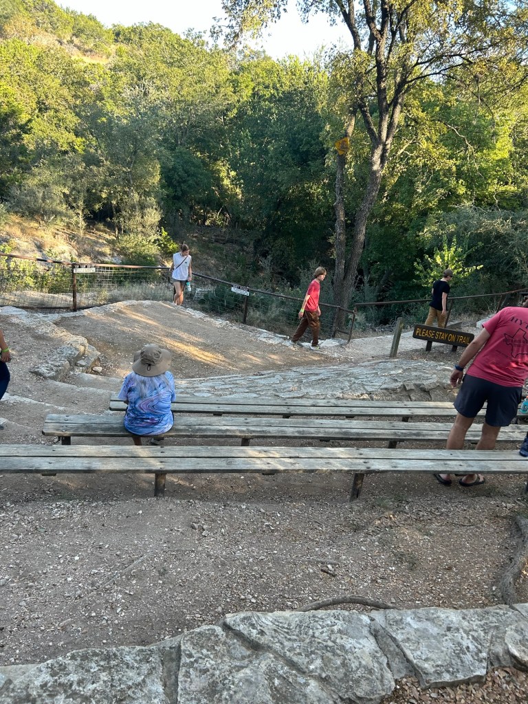
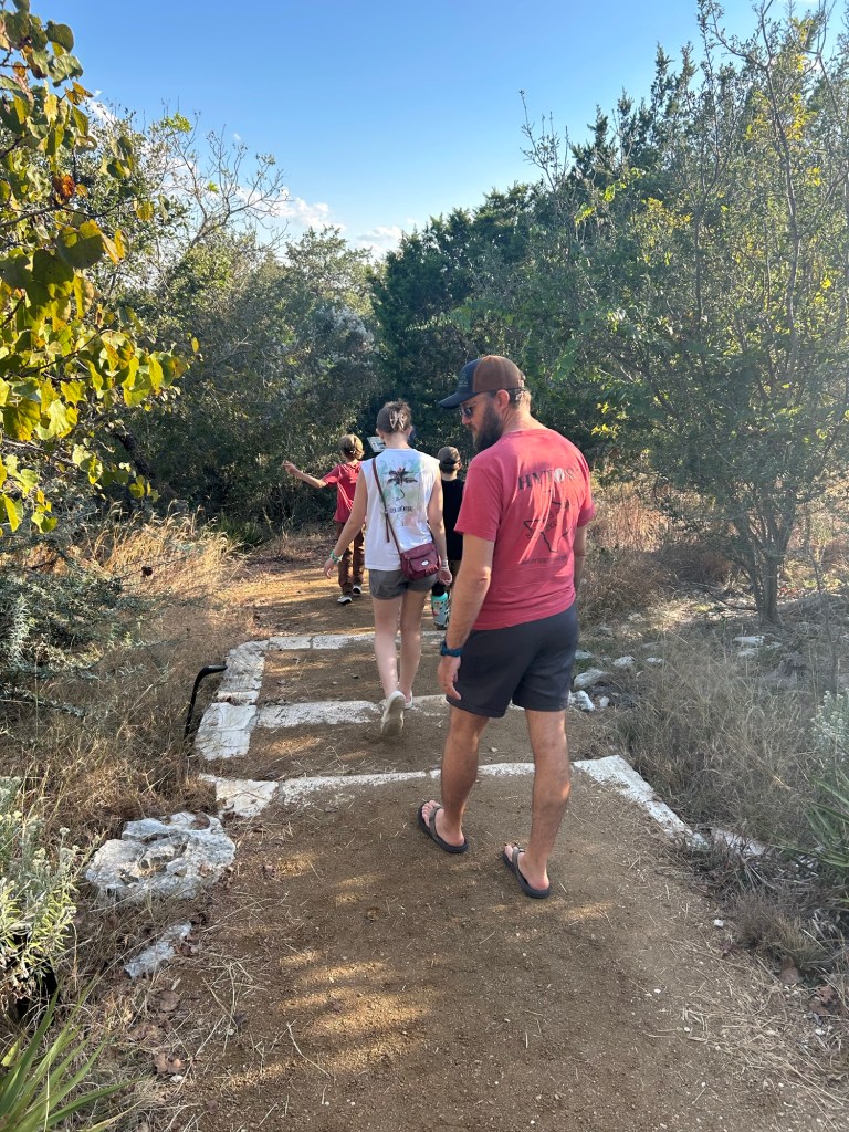
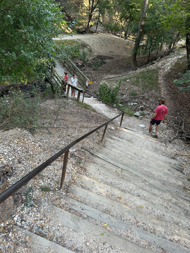
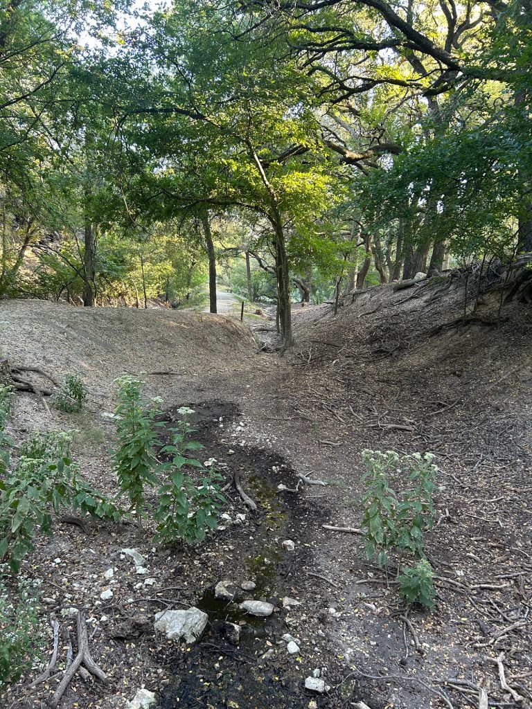
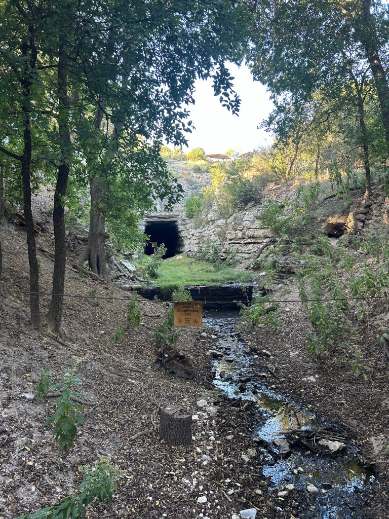
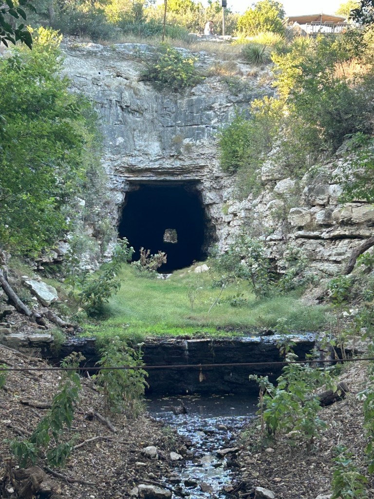
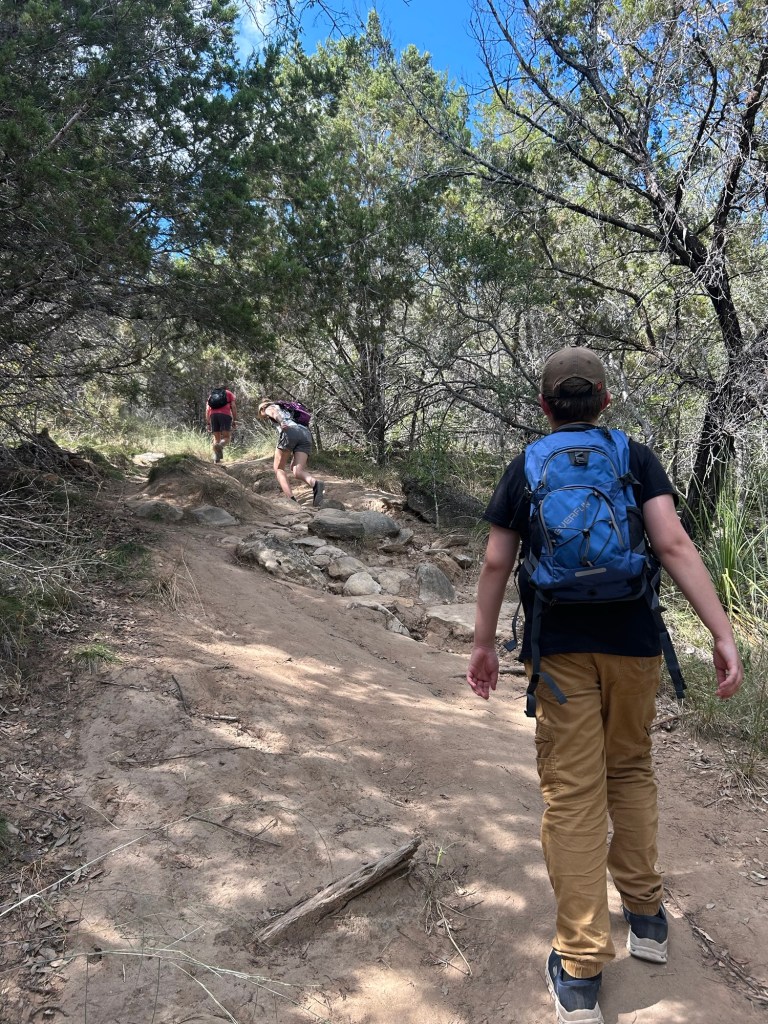
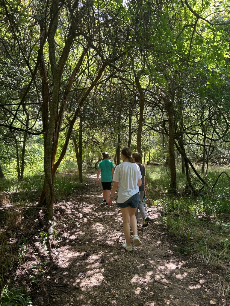
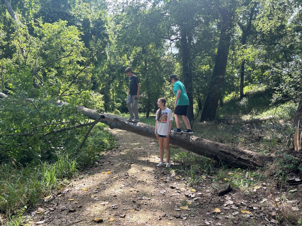
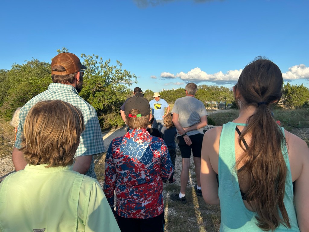
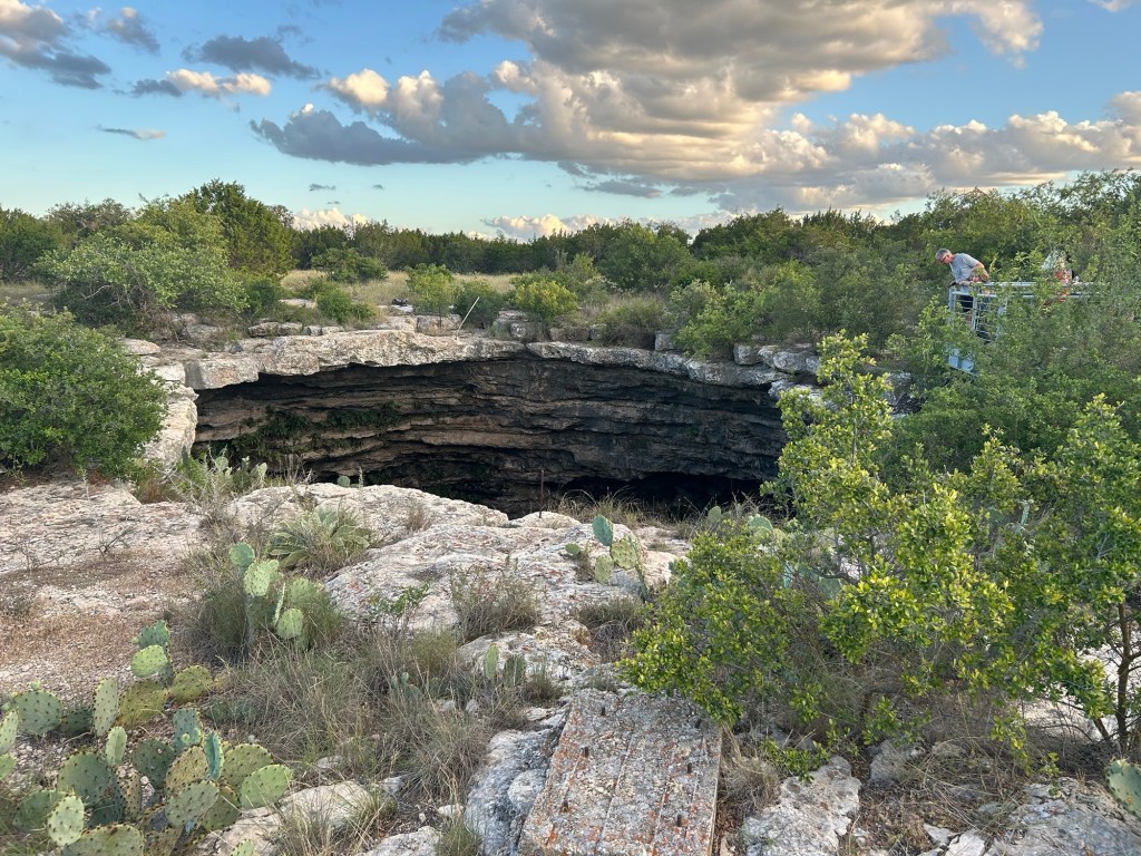
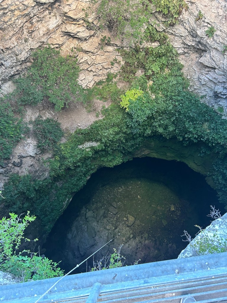
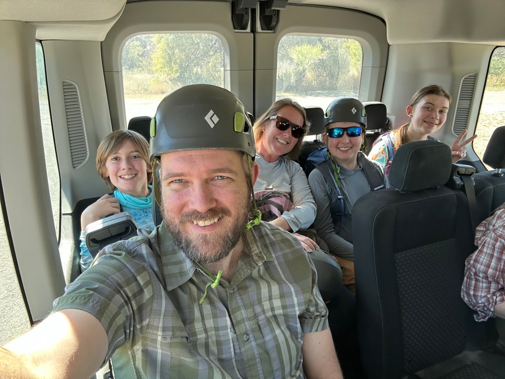
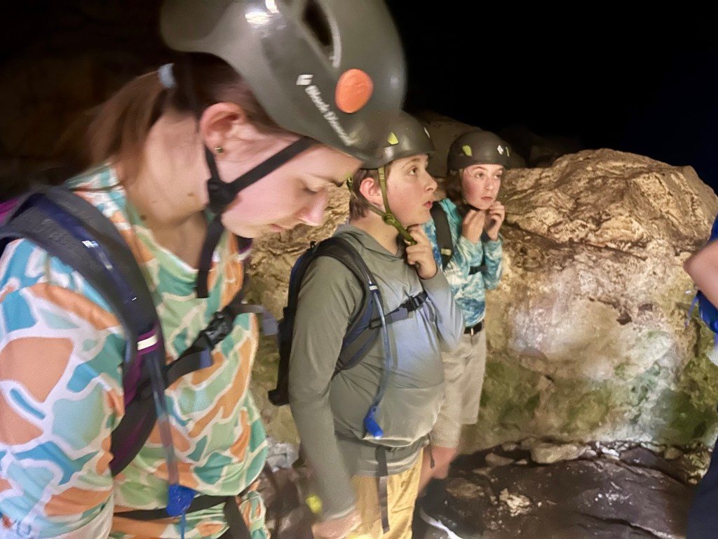
We drove up Saturday morning and arrived with enough time for a picnic lunch before tour time. At 1pm, we met at the park headquarters where they verified we had our required closed toe shoes and personal flashlights and provided helmets before loading the 5 of us and 4 others into a sprinter van. Our 2 tour guides drove us back to the entrance of the park then cut off on a mile or so long road before parking at a trail head. After a short hike uphill, we reached the entrance to the cavern where it became evident just how unique this tour was going to be!
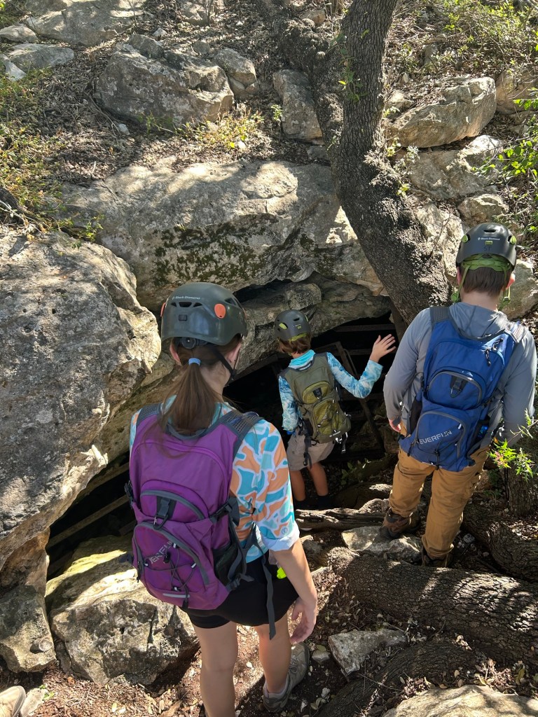
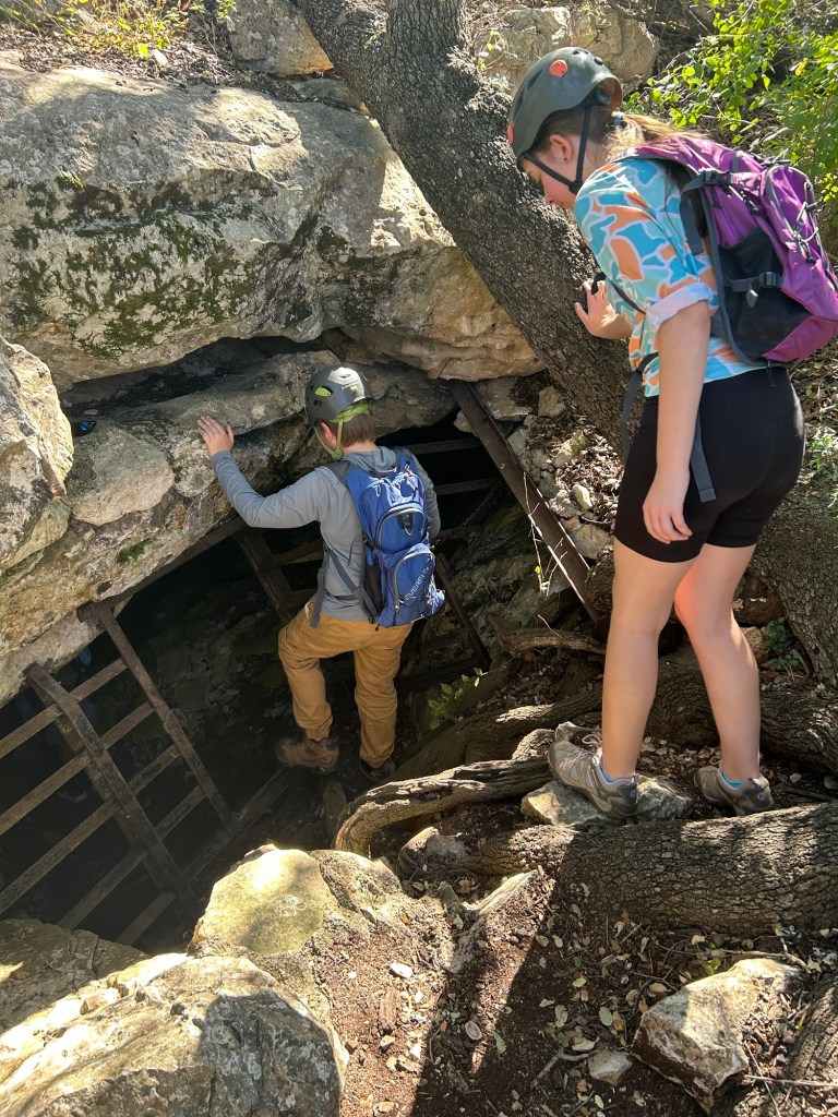
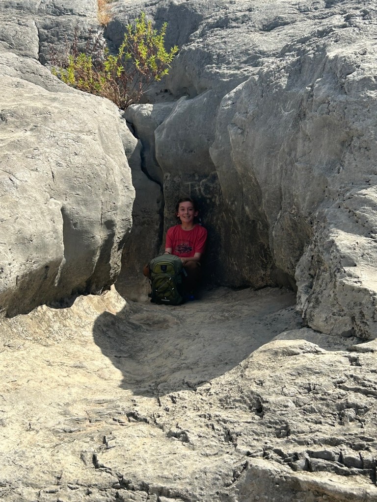
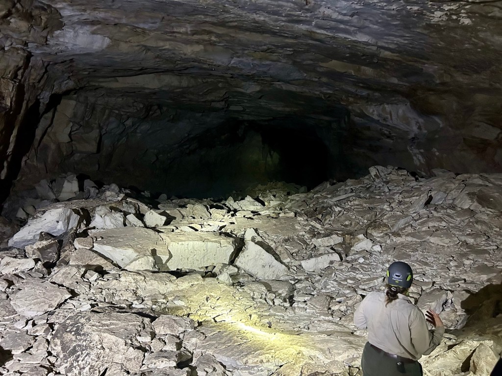
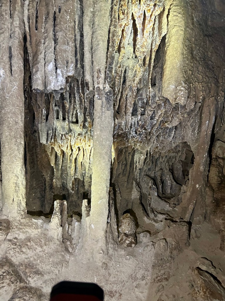
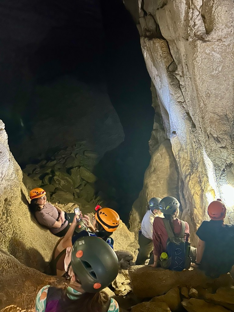
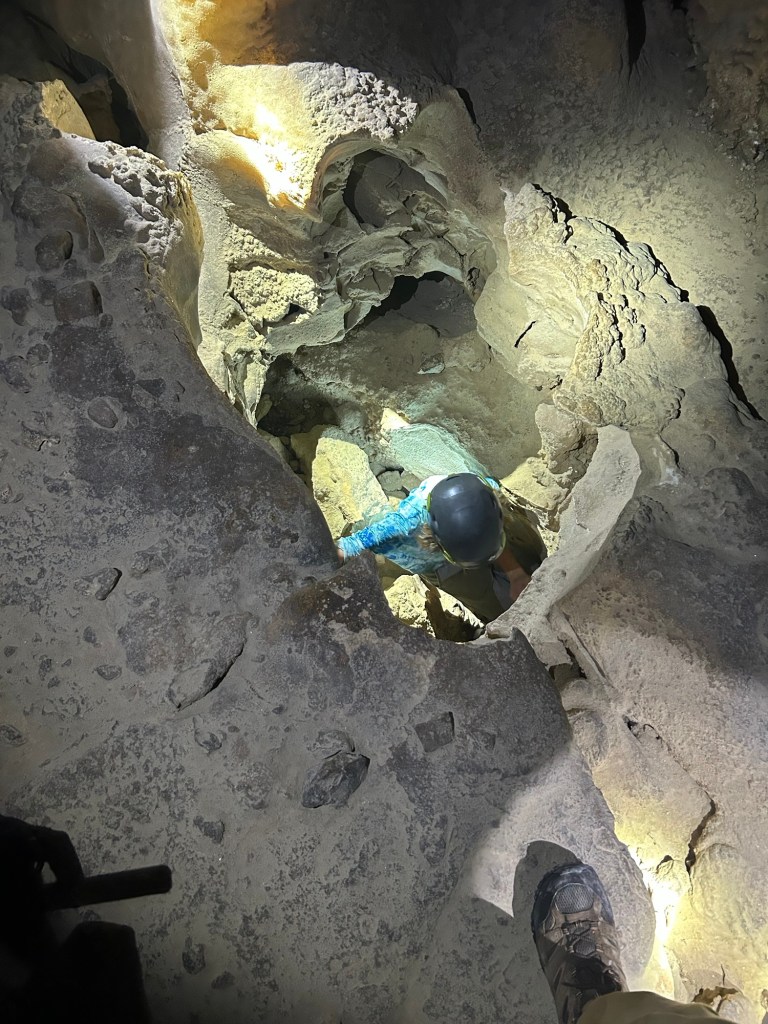
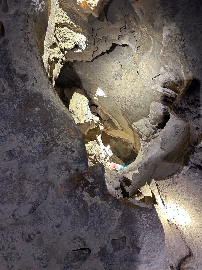
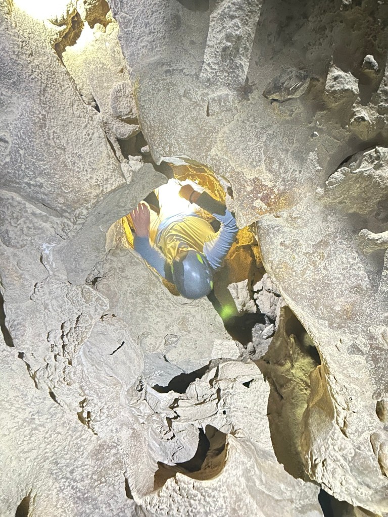
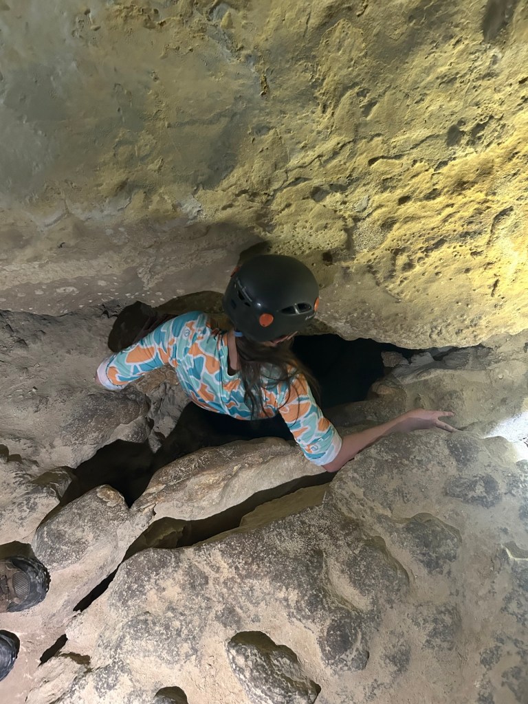
Unlike other caverns we have toured, this one is classified “dead” due to its lack of dripping water activity continuing the formation of stalactites/stalagmites and has been that way for hundreds of thousands of years. Evidence of Indigenous activities predating European presence has been found in the cavern, but there have been many artifacts and graffiti from the 1800s and early 1900s recovered. Due to the cavern’s dormant state, our tour was not restricted to one single well laid path and we were free to safely traverse the boulders and piles of rock with one guide at the front and the second bringing up the rear. The experience definitely registered on the adventure scale!
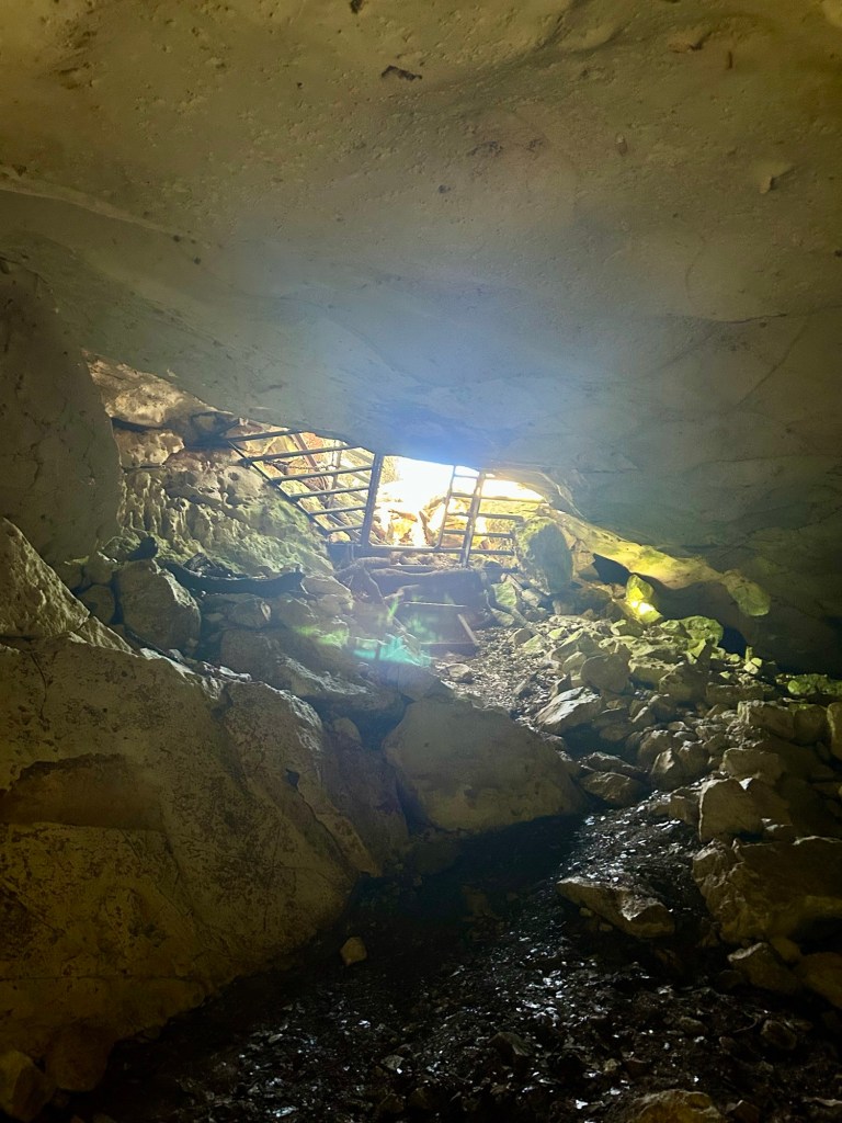
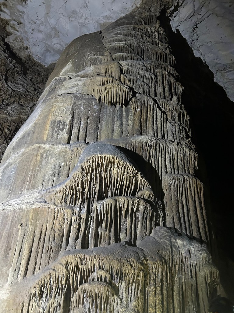
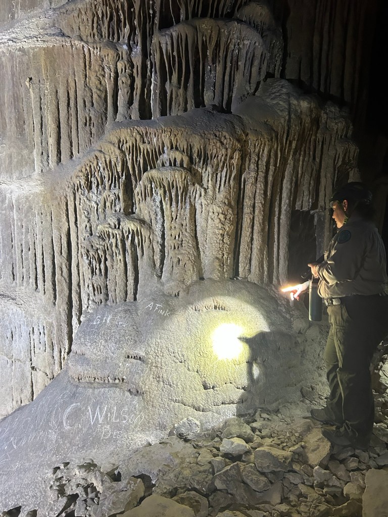
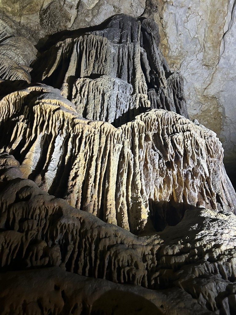
We travelled a distance into the cavern staying mostly horizontal to the surface until we reached a pair of columns. Our guide shared some historical stories and pointed out various stunning features.
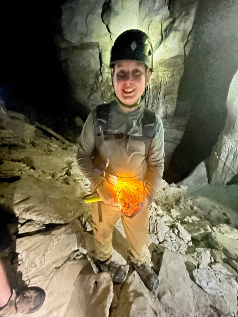
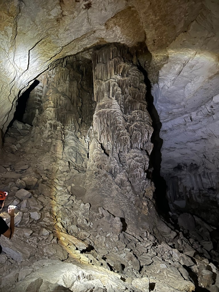
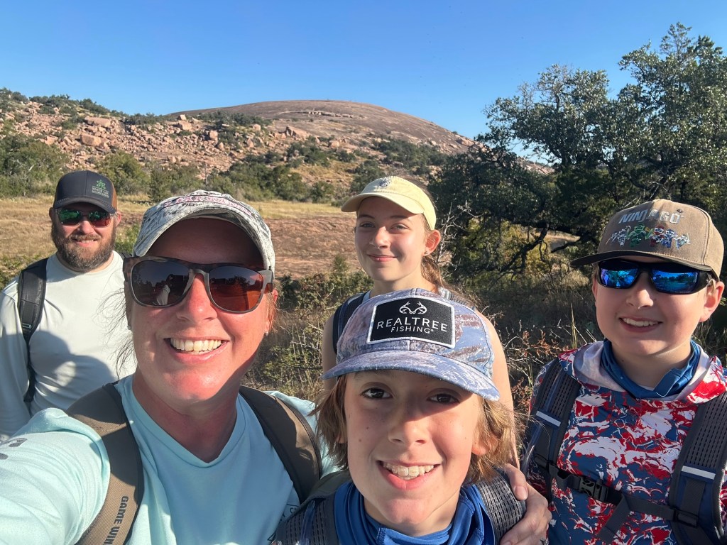
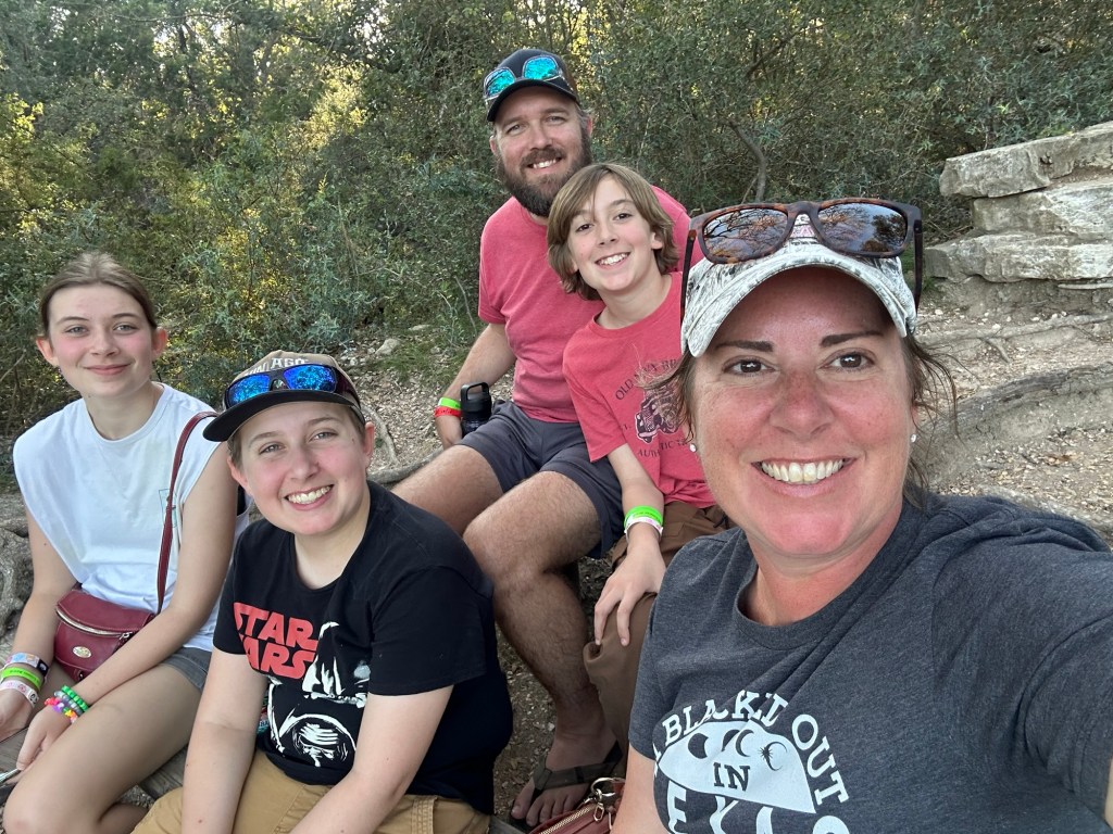
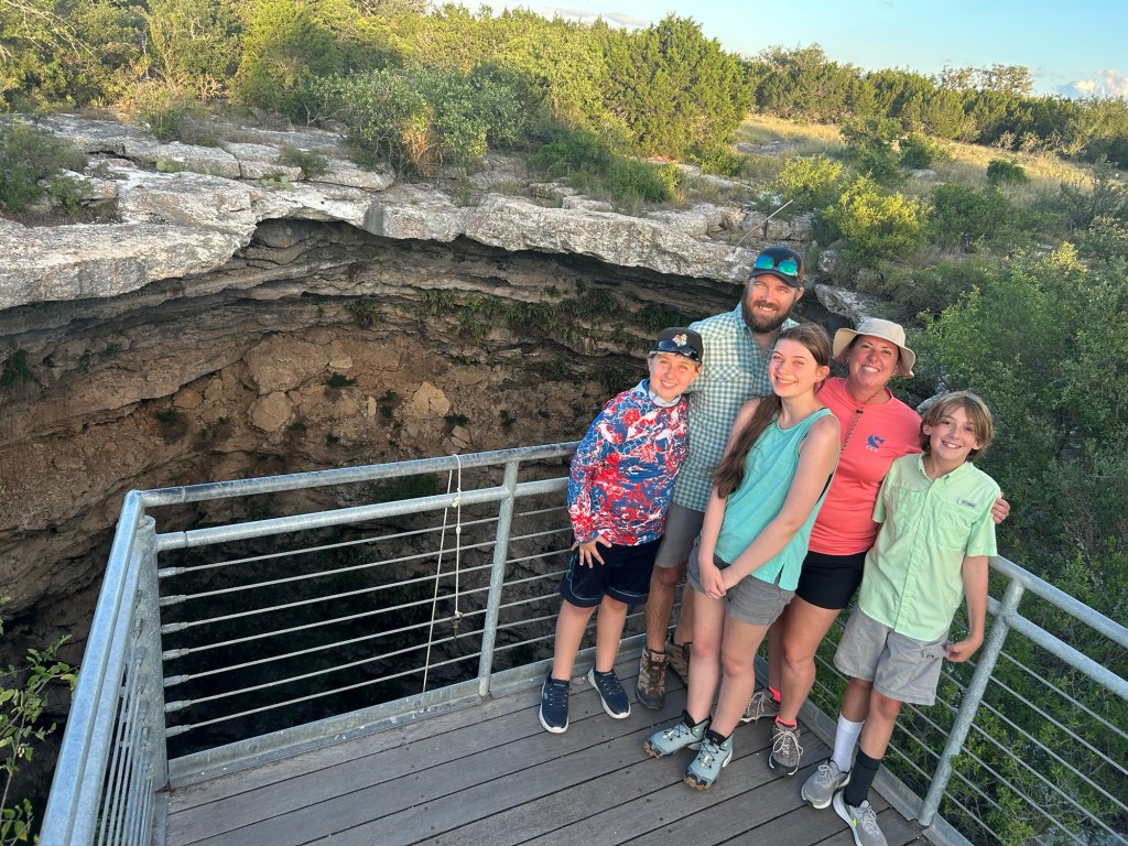
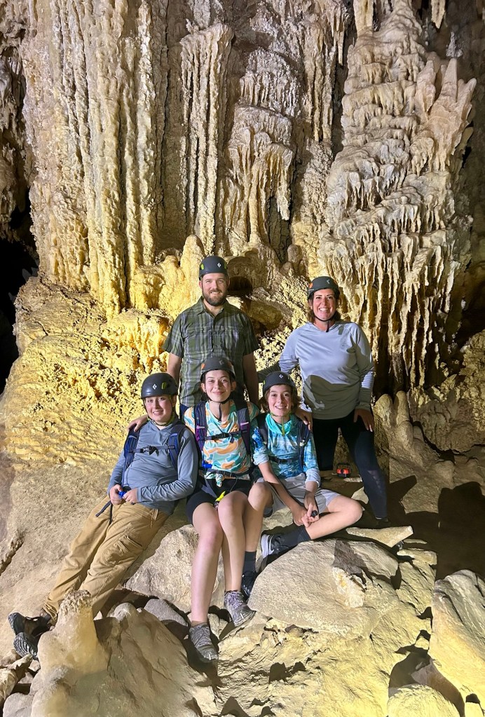
After that short break, we descended into a larger open area with another even more stunning column as the backdrop. Everyone had some fun at this point! We turned off the lights and experienced true darkness and silence. The kids got to crawl down into holes and through cracks. AND we got one of the coolest family photos to date!
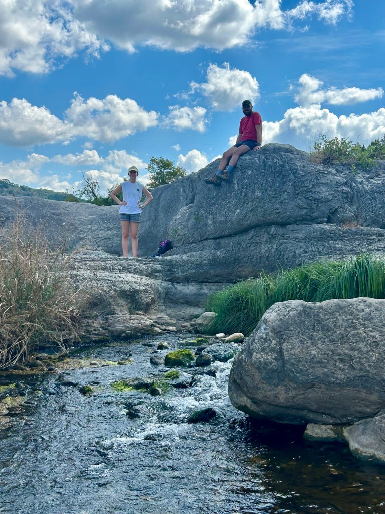
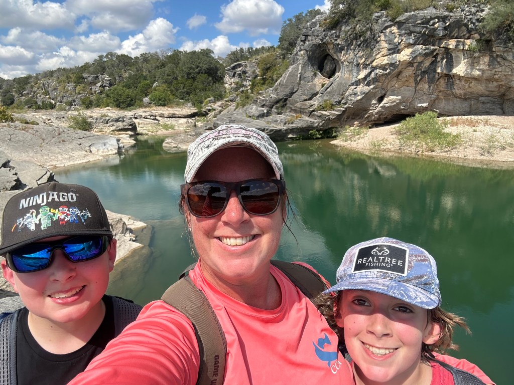
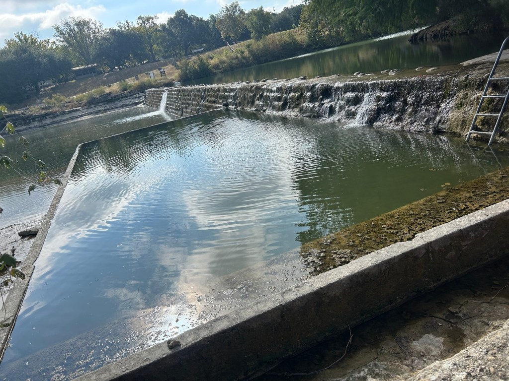
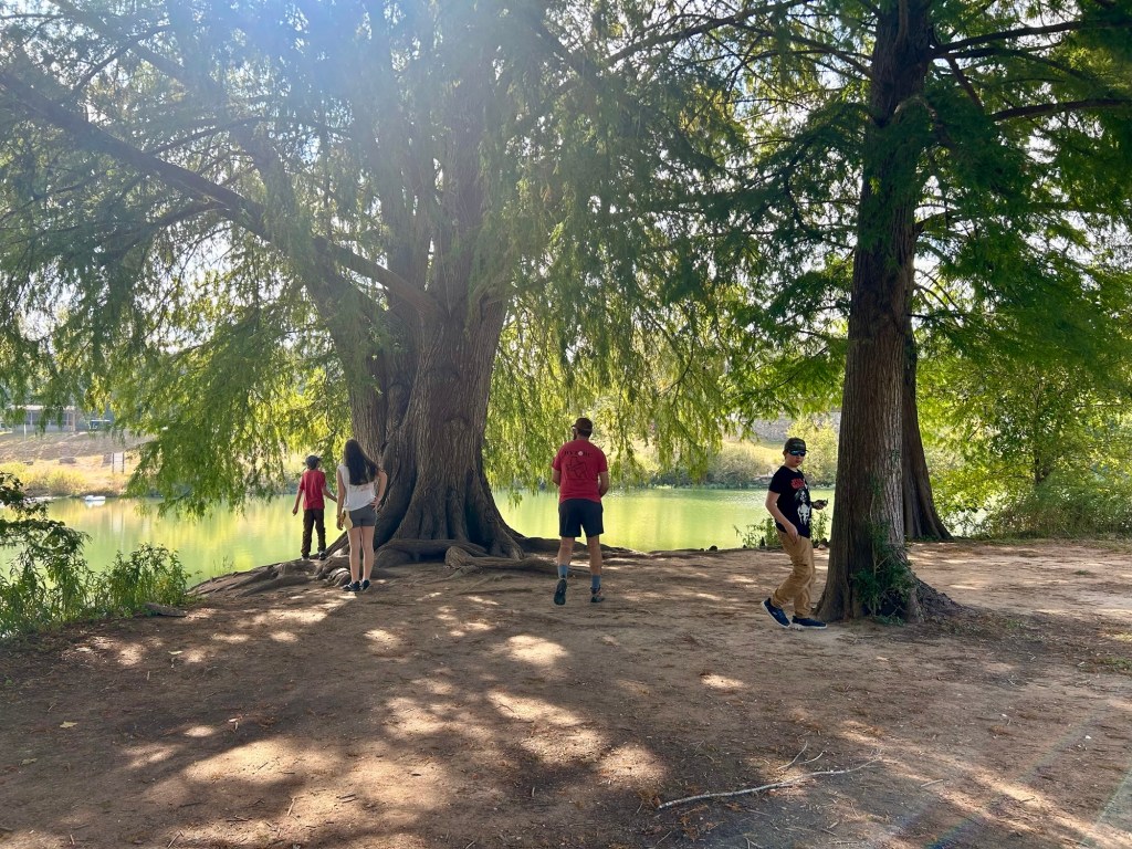
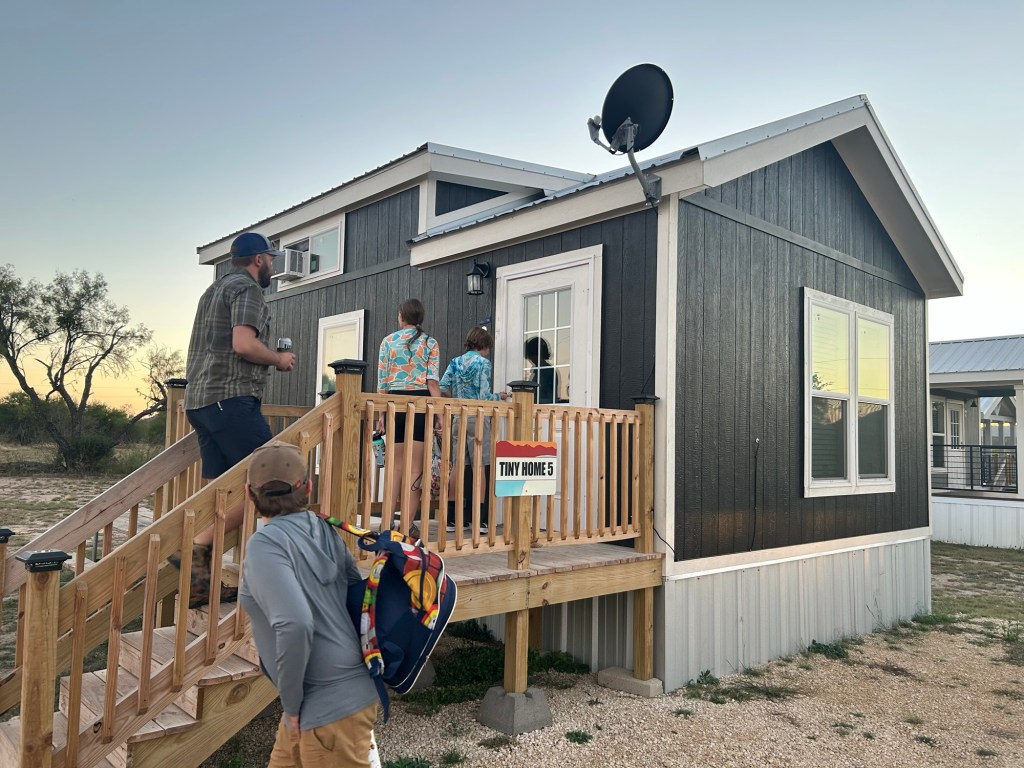
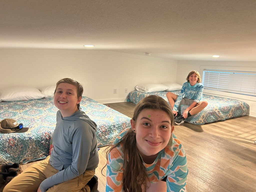
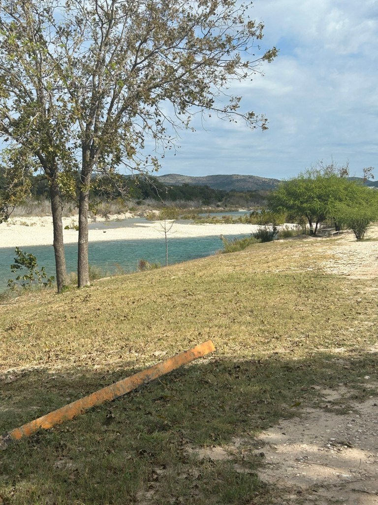
All that was left was to leave the way we came in and by the time we were back at the van, this flat lander was feeling all that rock crawling, haha! Afterward, thankfully, we only had to travel to Camp Wood where we had comfortable night’s stay in a tiny house at Los Rios Campground. That I expect we will come back to soon.
This was such a unique and immersive visit to a state park. While their trails and campsites are also appealing, I’d urge anyone to prioritize the cavern tour above anything else in the area. I’m hoping this experience sticks with the kids forever, I’ll never forget it. But….the blog helps too 😉
-Lindsay