Number 62 – Falcon State Park

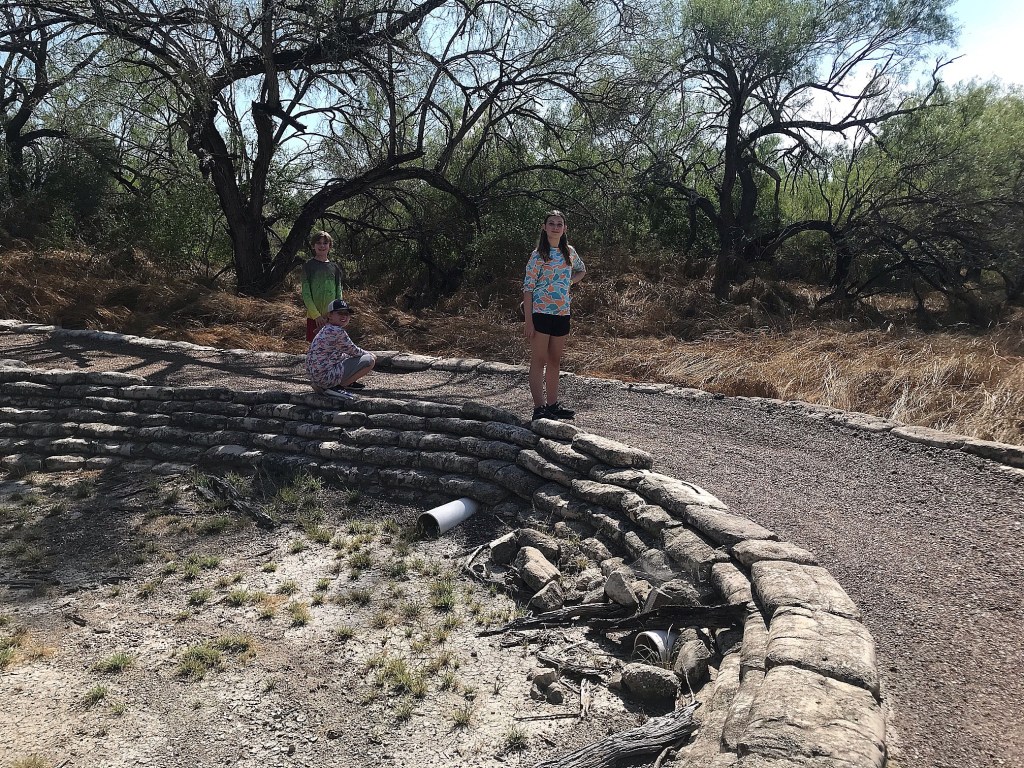
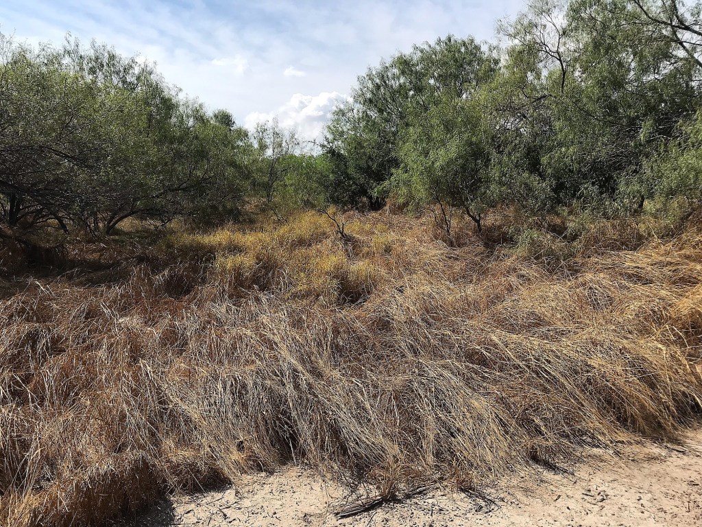
Along the way to Laredo on Saturday, we marked our 4th state park of the trip off. Falcon State Park is located on the massive Falcon Reservoir created by a dam across the Rio Grande technically making it an “International Reservoir.” The border line runs parallel to either shoreline splitting the body of water in half between Texas and Mexico. The park is a decent size covered in numerous campsites with only one loop trail around them. So, for this visit, we would just check out the lake.

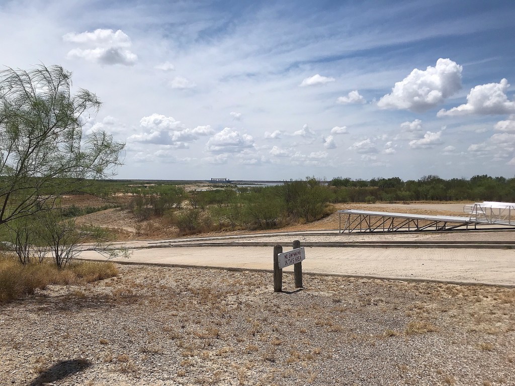
Much of Texas’ lake levels are suffering now in the extreme heat and drought, but this lake has evidence of YEARS of low level struggles. The boat ramp was a bewildering sight to see with its lengthy extension in an attempt to reach the receding lake years before and even that be in vain now.

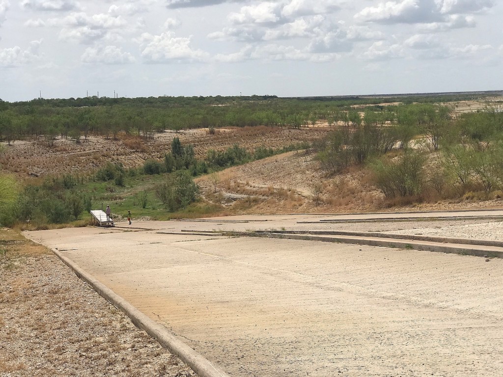
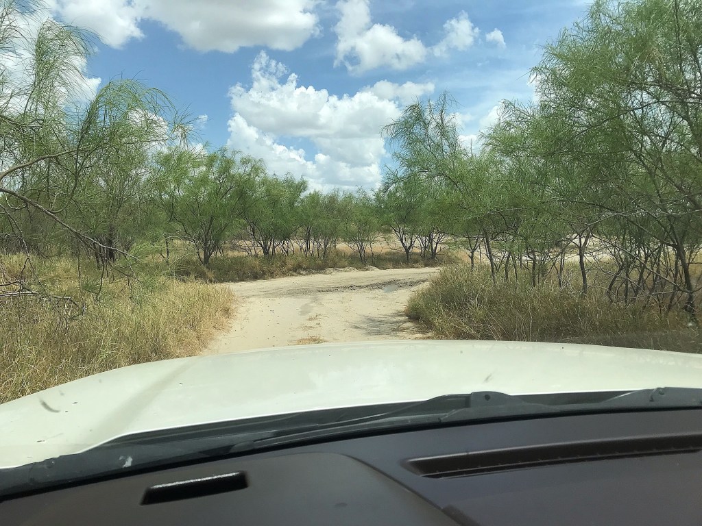
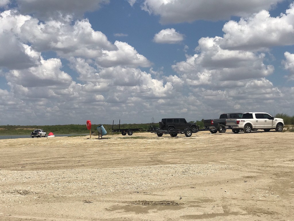
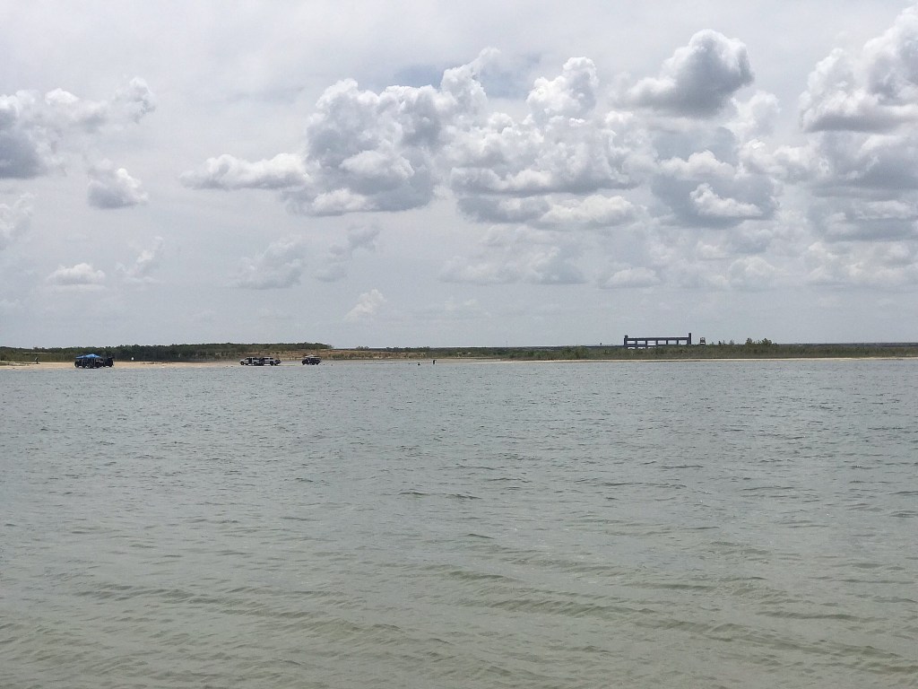
While we were exploring, a truck pulling a boat drove up out of the brush on a dirt road that seemed to lead to the lake. At first glance, you would think the road is just a wide hiking/biking trail, but then we starting observing other vehicles along the shoreline and figured we’d give it shot, haha. We hopped back in the car and started down one of the dirt roads and found a labyrinth of trails in all directions. We just kept turning on roads that seemed to head down hill until we indeed hit a beach area along the lake. There were about a dozen cars parked with families swimming and BBQing and a number of trucks with boat trailers parked long the shore. Apparently folks have just made their own boat ramps utilizing the rocky parts of the shore. What was truly bizarre was when Nathan pulled up satellite and map images of our location and our car should’ve been under water!

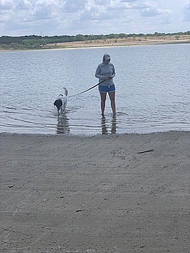
The water actually looked pretty decent to us, so we indulged in wading around a bit; even Sally! So now we have all been in the Rio Grande…technically.

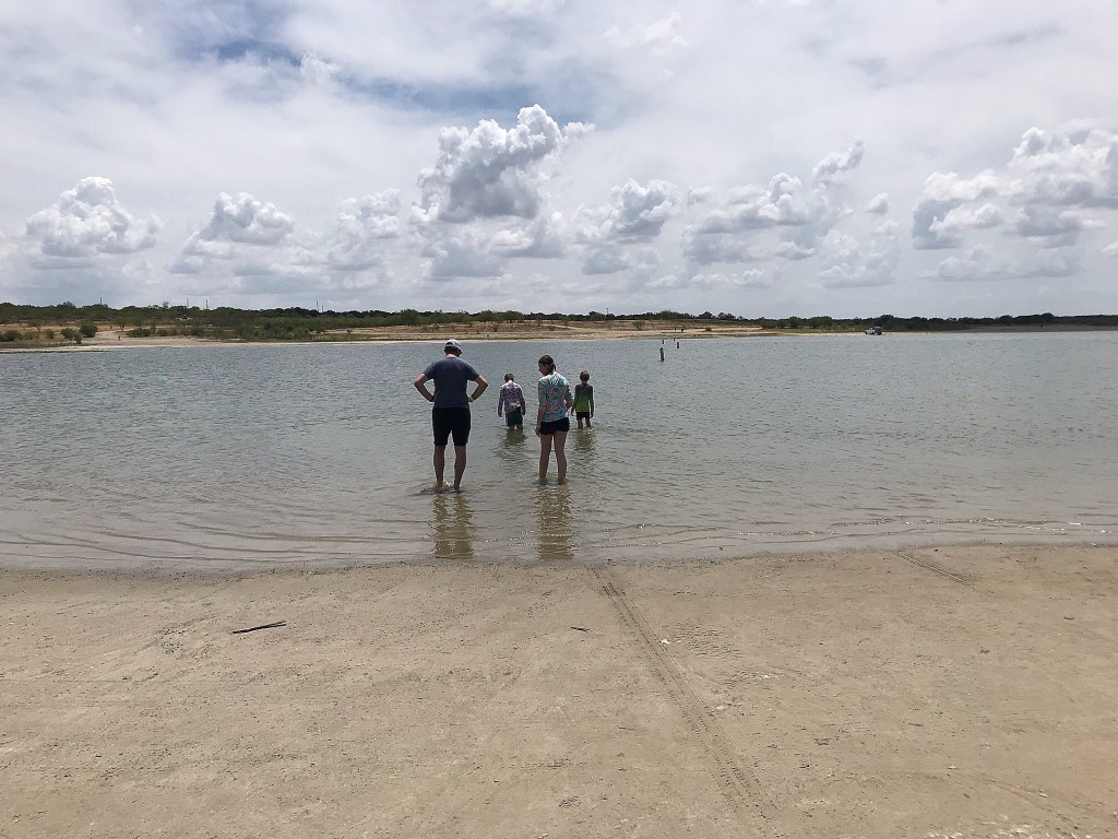
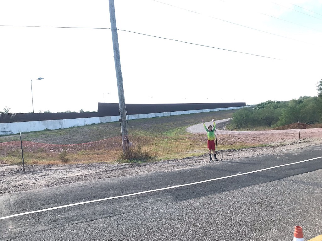
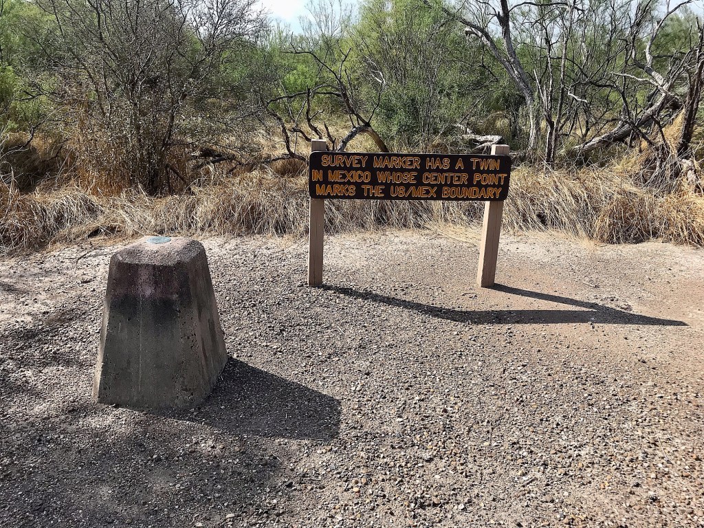
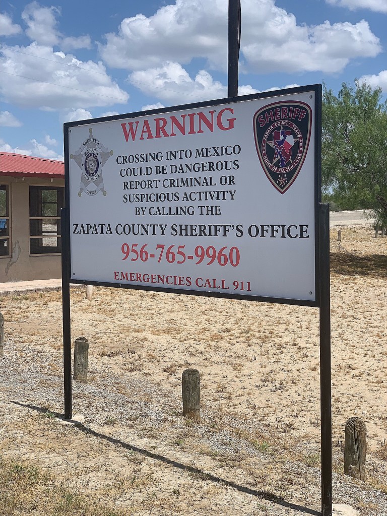
Another bewildering moment was looking across the lake and realizing that was Mexico over there! We saw cars driving across the dam where a border crossing checkpoint was located, but I wondered what stopped folks from just boating back and forth. I guess as long as you don’t set foot on the opposite shore, its all good. There were posted signs everywhere about illegal border crossing…but that’s just information.

This park is to date the most “lawless” and “unstructured” state park we’ve visited. Usually vehicles are restricted to pavement and “trailblazing” is forbidden by standard park guidelines. But, park signage and swim area amenities like life preservers had been relocated to the off grid areas in almost a “they’ll allow it” sort of way. We never felt unsafe, but it definitely weirded me out coming from what I expect in state parks.

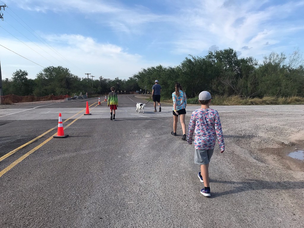
Still, we were grateful for the quiet scenery and cool-off before arriving in the crazy town of Laredo for one more overnight stay ahead of visiting our 5th and final park of the trip on Sunday.

-Lindsay

Number 61 – Bentsen-Rio Grande Valley State Park

We started day 2 of our 5 park trip with a 30 minute drive from our hotel to the third and final World Birding Center state park. Meaning, like the others, it was a walk in style park and I was grateful to get an earlier start on it. This park also would be the closest we got on foot to the Mexico border.

We arrived a little before 10am and were greeted with the same lush landscaping and extravagant headquarter building as the previous parks, but were distracted by a rather large bird running around. It looked like cross of a chicken with a roadrunner!

After check-in, we set off across a bridge over an irrigation ditch and were surprised that we would be on the other side of the “the wall” in this park. Around the corner we came to the old headquarters building that is now being used as a nature center. We were told the tram was running today and starts at this location circling around every hour. But, no dogs allowed on it. Since the trailhead for the 2 mile loop hike for the Rio Grande would be an additional 3 mile roundtrip for us to get to, Nathan opted to hang out with Sally at the shaded pavilion while the kids and I zipped off to the trailhead on the tram.

On the way, the ranger driving the tram served as a tour guide and told us about his time in the park and a little about each trailhead we drove past. He also confirmed these parks get crazy packed in the winter months and we were definitely there in off season. He stopped at the Geological Survey Marker possibly placed in 1917 and then dropped us off at the trailhead for the loop that would take us as close as possible to the Rio Grande – aka the border of Mexico.

He also informed us that up until 5 years ago, you could take a cut off path down to a deck over the river, but a horrendous flood washed it all out and they felt it unsafe to rebuild anything if the river was capable of doing it once. Also, the area is not as serene now that it is covered in razor wire. But we enjoyed the well maintained pathway and acknowledged the turn in the trail when we were approximately 60 yards from the river. Not that we could really tell other than a little elevation change.

We finished our walk with about 10 minutes to spare before we were picked up and delivered back to Nathan and Sally who enjoyed their hour hanging out. Nathan spent the time researching the weird bird we saw all over the park and learned they are called Chachalacas and are hunted in Texas AND are supposed to be quite delectable. Sounds like we might have a Chachalaca meal in our future. Haha

That wrapped up our time at this park and we continued our trek Northwest towards Laredo that afternoon. Bentsen Rio-Grande was our most enjoyable visit of the 3 World Birding Centers with it’s historical and geographical features. It even made us do a little bird watching in the end!

-Lindsay